Teri Urwin GPX files

Tongariro Northern Circuit

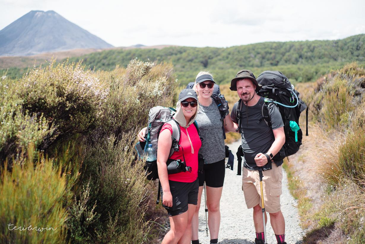
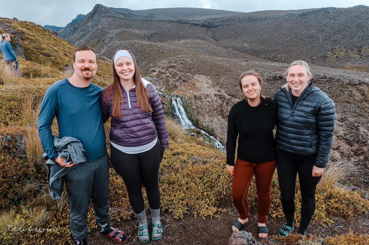
Three days with friends

Note - Krissi took around â…“ of these photos and I only remembered after I watermarked them. Sorry for stealing credit x

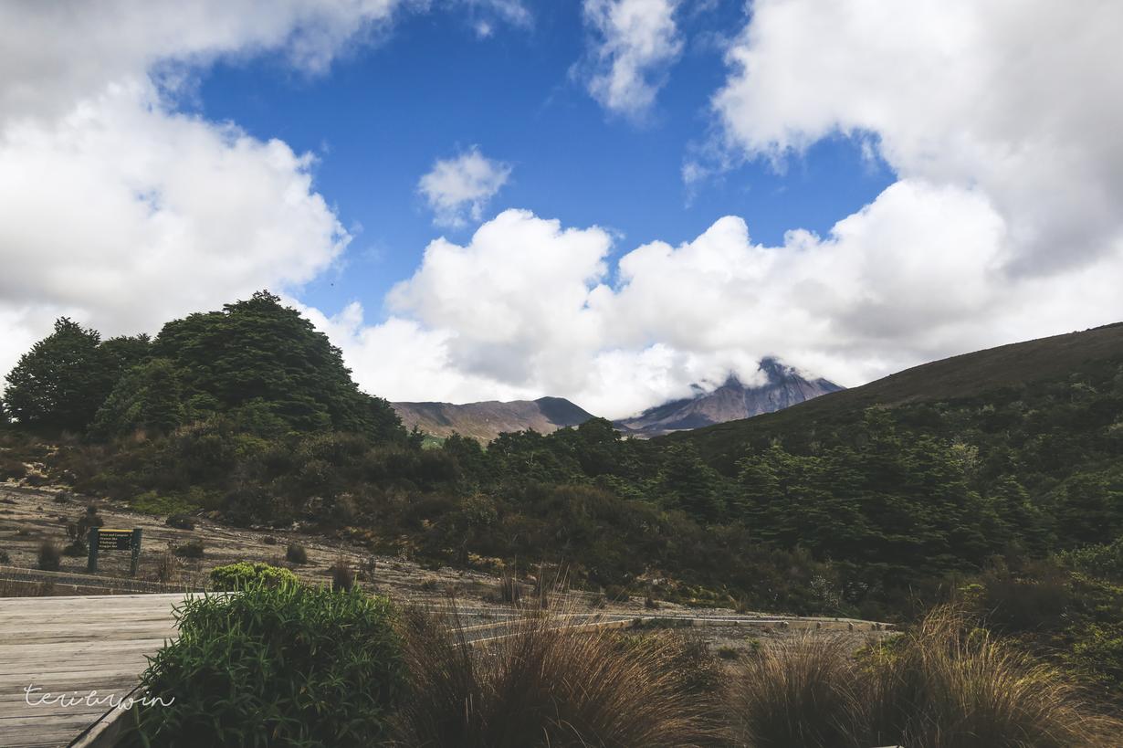
Day 1 - Whakapapa to Mangatepopo Hut

Garmin link | 9km/3 hours hiking

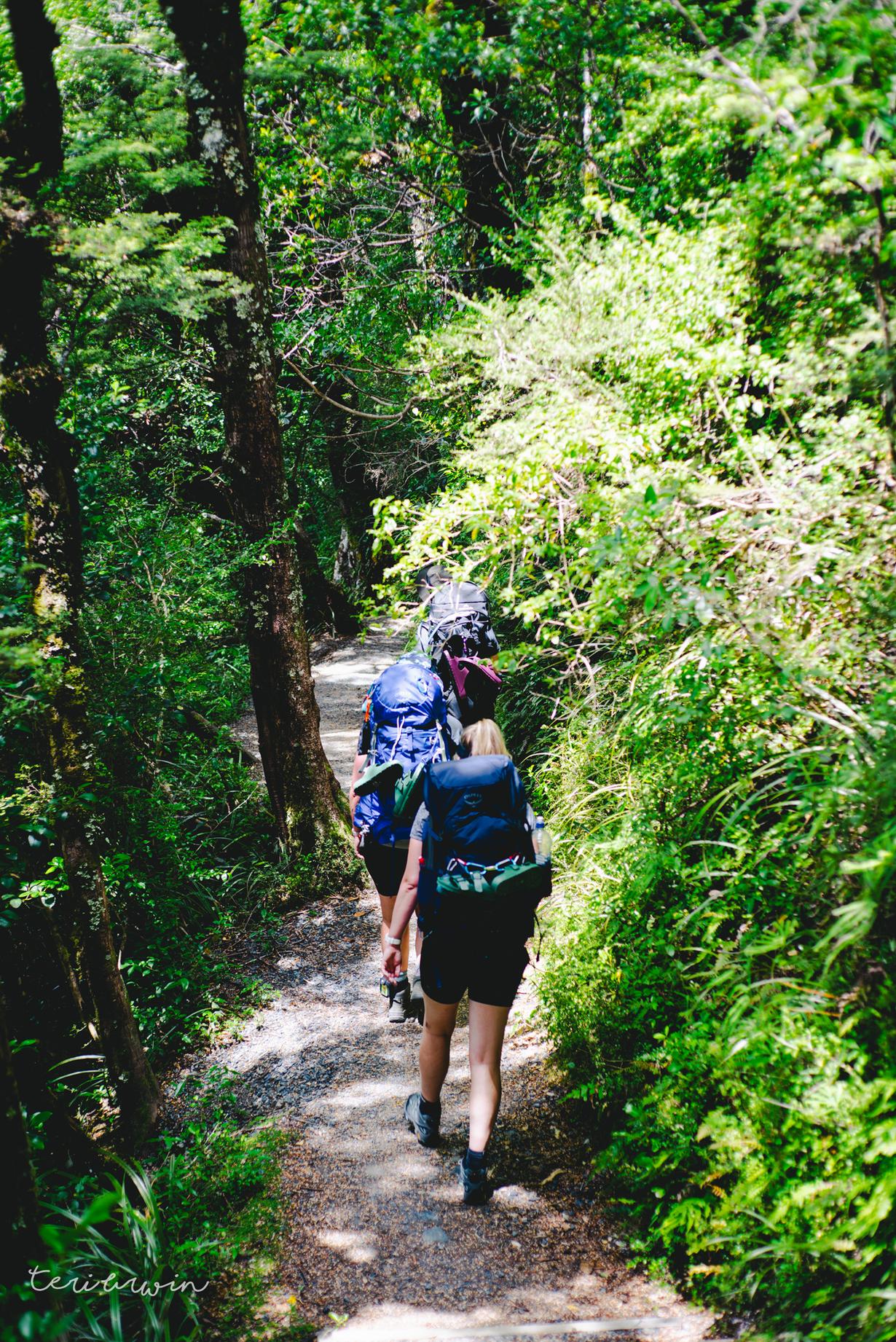
Day 1 saw a long drive from Auckland down to Whakapapa. Starting at the outrageous time of meeting at 8am close to home (excuse me - my alarm hasn't even gone off then on a work day), we meandered our way down the country. Jane and I only experienced a slight diversion where we accidentally went to Hamilton rather than bypassing, but we made it there in the end!

We headed to the visitor centre to check in and get parking tickets, and I was told all the ways that North Island great walks are better than the South Island. Things like weather warnings, adding extra loos so people don't shit on the tracks... they have it all sorted up here, folks. (I jest, but I do think that TNC was a far better experience for campers than any I've done in the SI and the focus on keeping people safe wasn't bad).

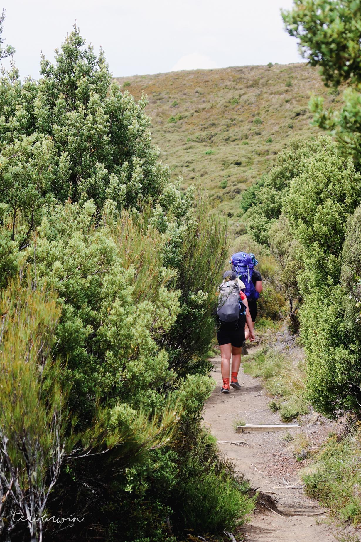
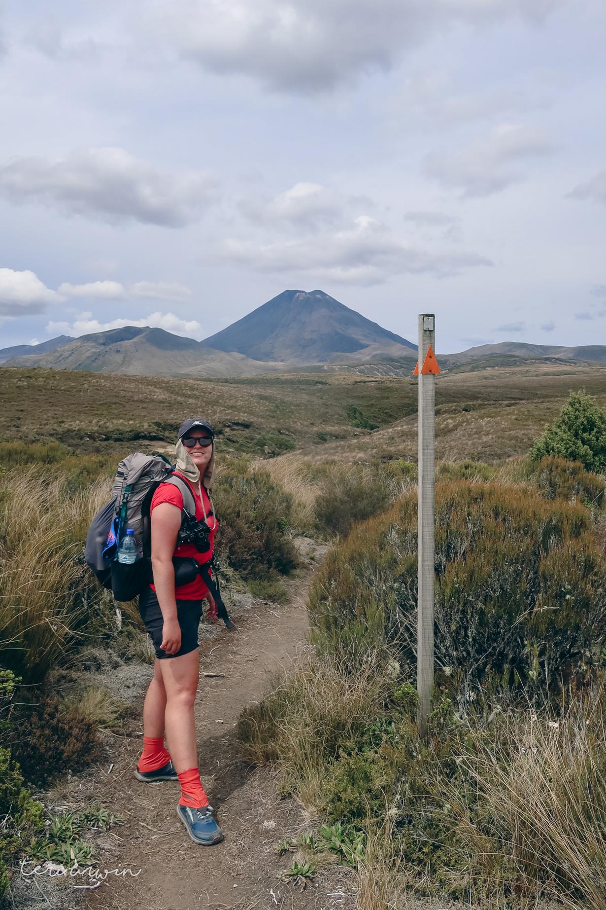
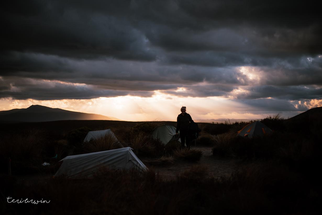
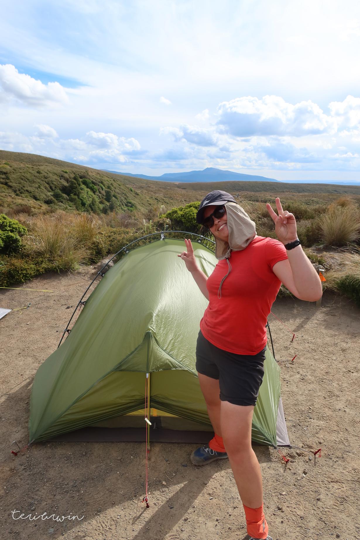
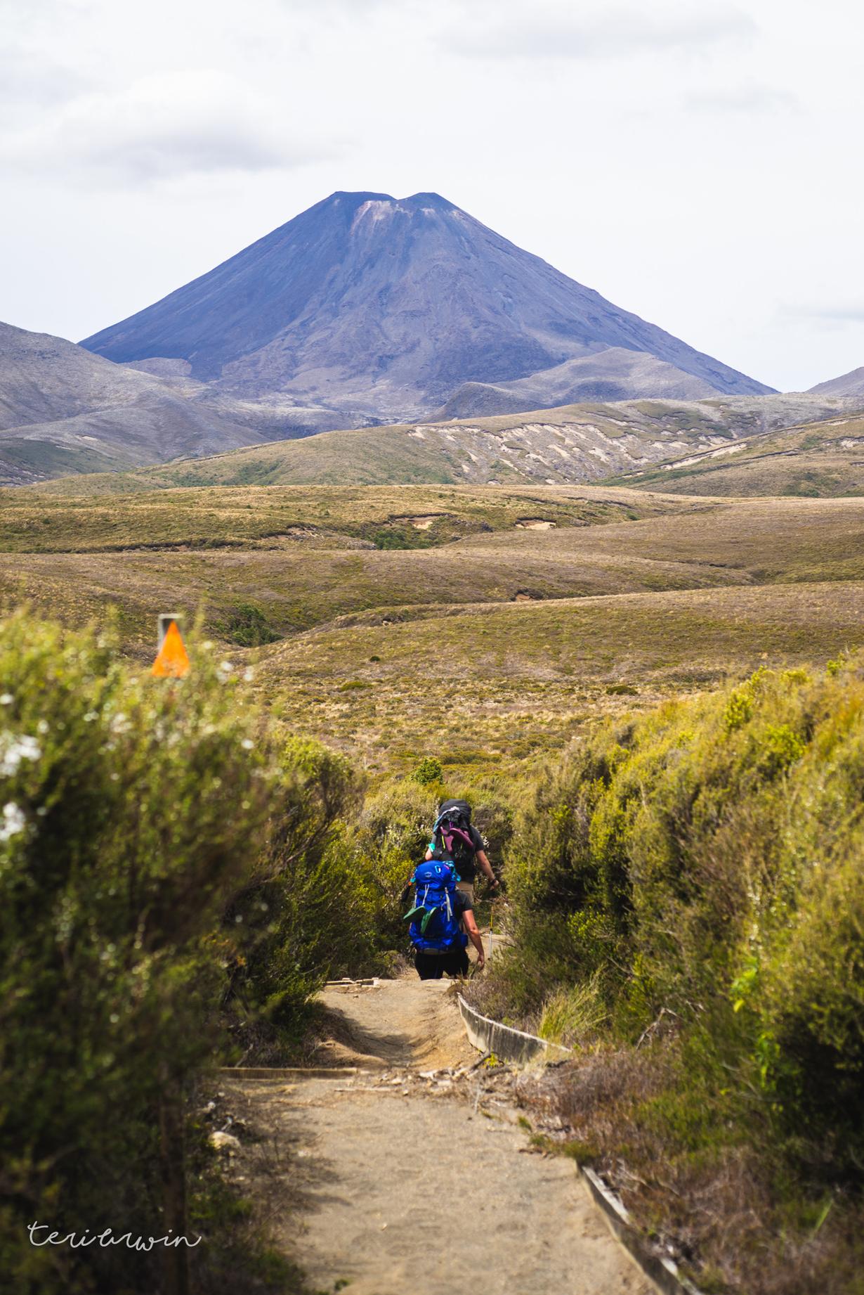
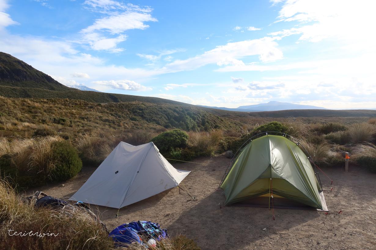
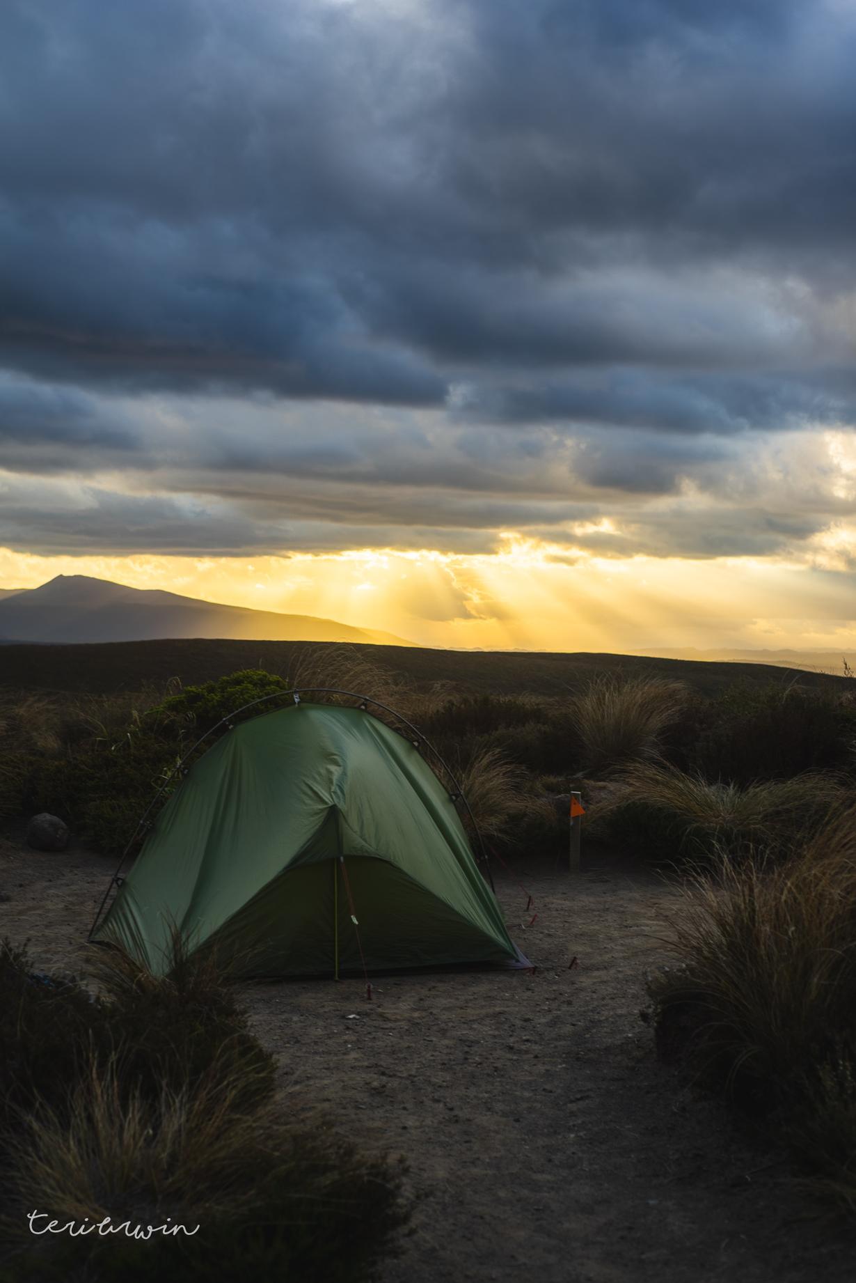
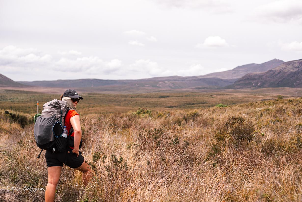
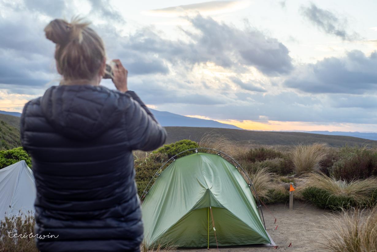
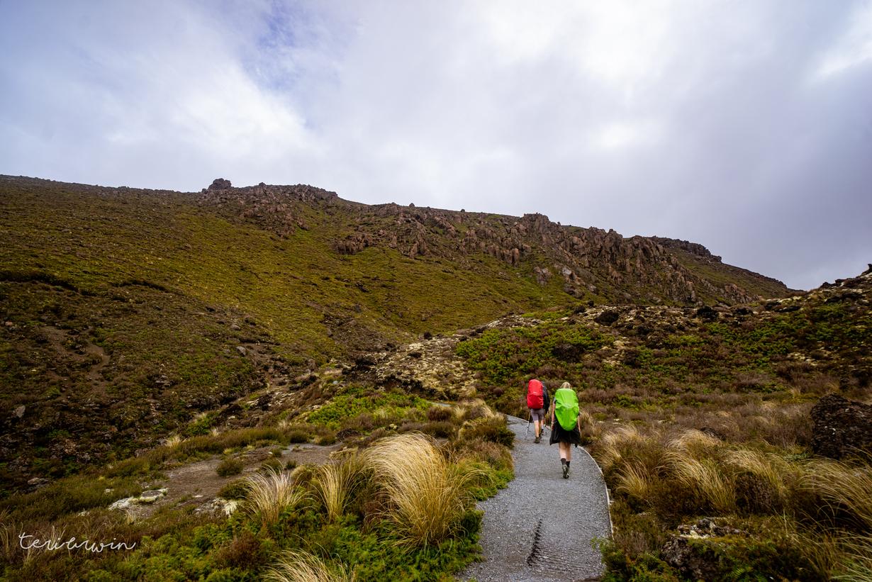
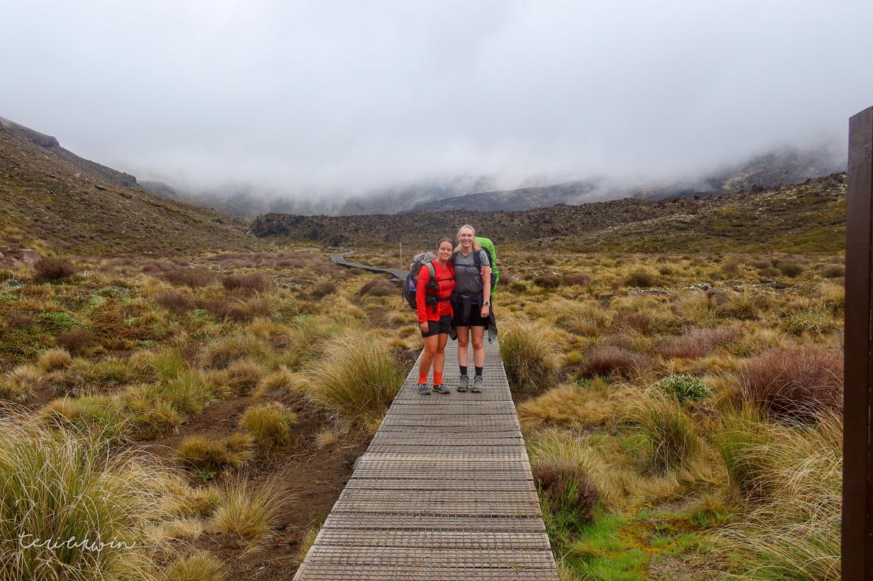
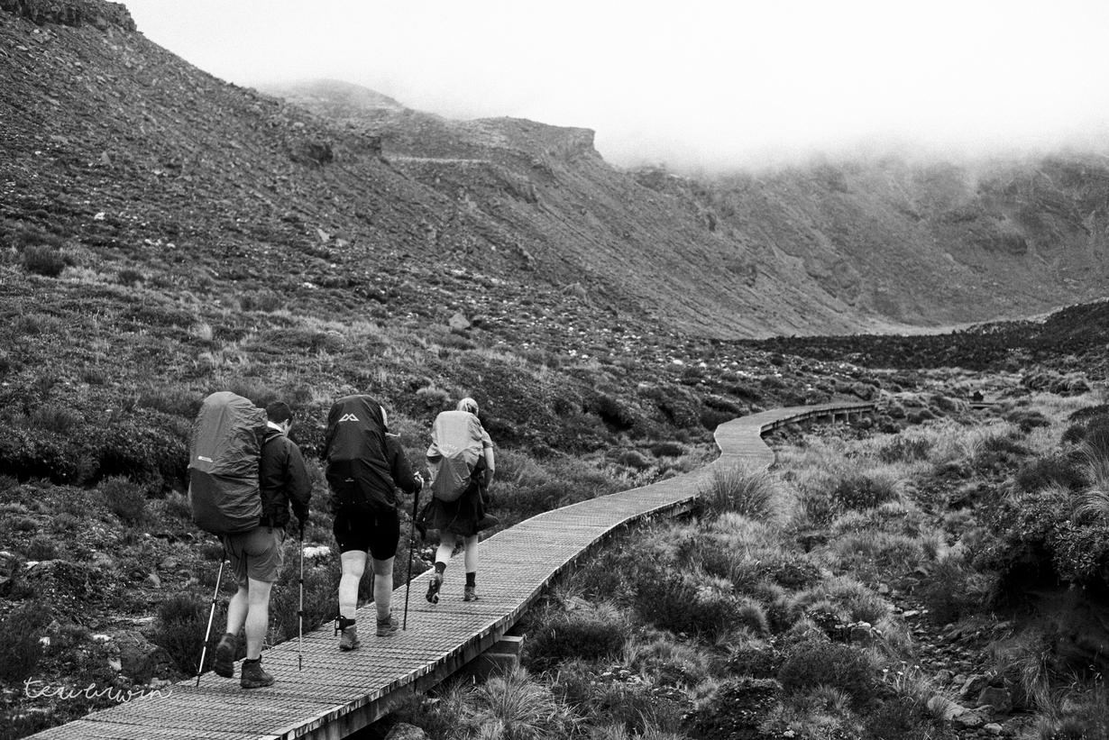
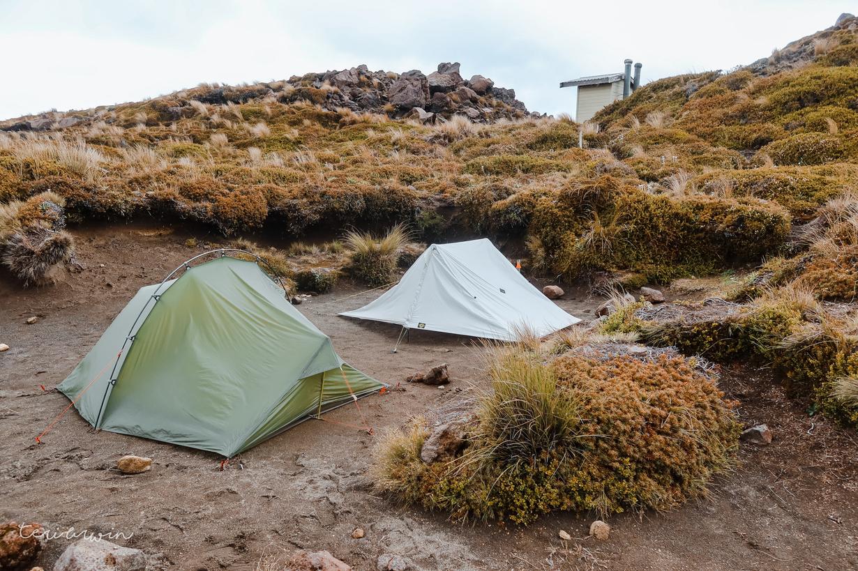
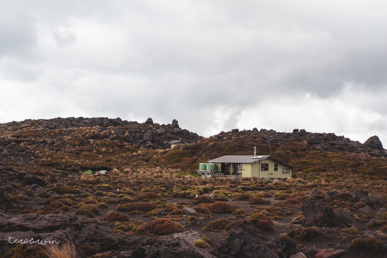
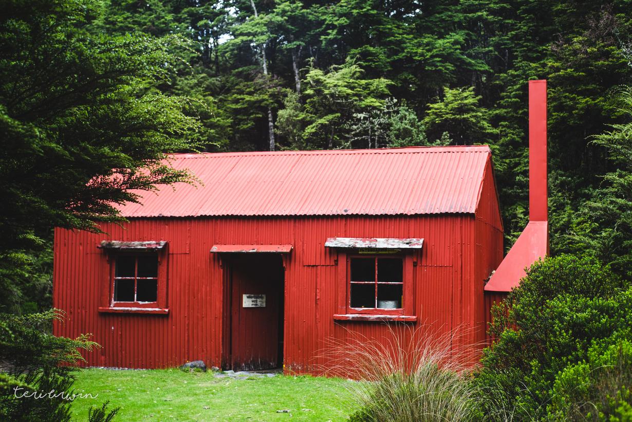
The tramp today was short and sharp, only three hours in to the hut. We got to the hut and set up the tents - this was the first proper outing for my Vaude Power Lizard 2-3p, and it performed bloody well. I would recommend bringing a groundsheet though given how dusty and rocky the campsites were.

Unlike the South Island, where hut facilities are for hut stayers only (and campers can bugger off!) the Northern Circuit had a more enjoyable colligable vibe going on, with campers welcome to hang out and do everything bar sleep in the hut. We ended up hiking at the same time as a large family group, however, and generally gave the huts over to them.

Toby, the ranger at Mangatepopo, was great. The hut talks on the Northern Circuit were generally a bit less polished than those down south, but the enthusiasm Toby had for sharing Maori knowledge and stories were incredible. I walked away with far more enthusiasm - absolutely loved it.

The night was warm and we were cozy in our tents (after I had spent three weeks fussing in the group chat to ensure everyone brought warm enough clothes because "it's alpine, you know" we were uh, exceptionally warm).
Day 2 - the Crossing

Garmin link | 13km/6 hours hiking

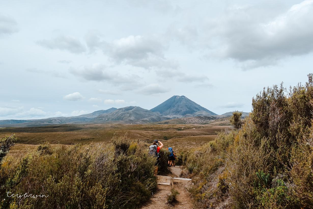
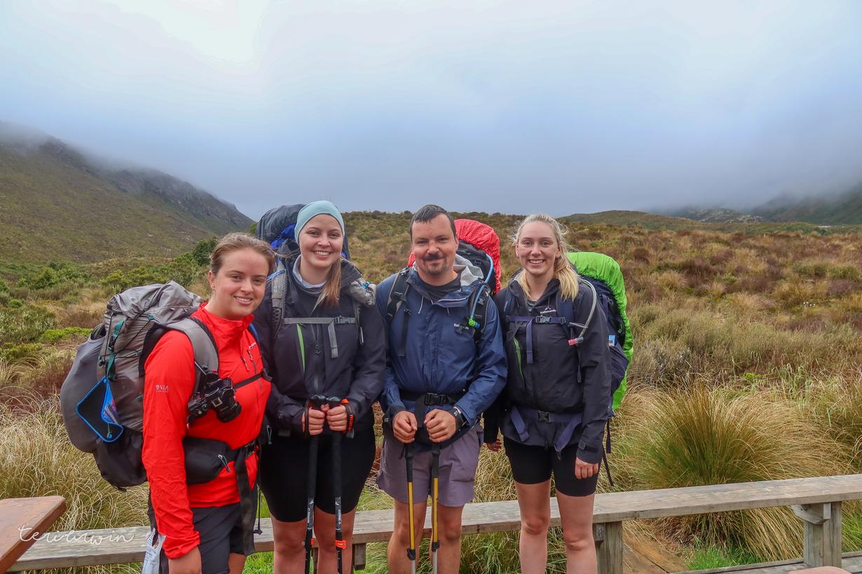
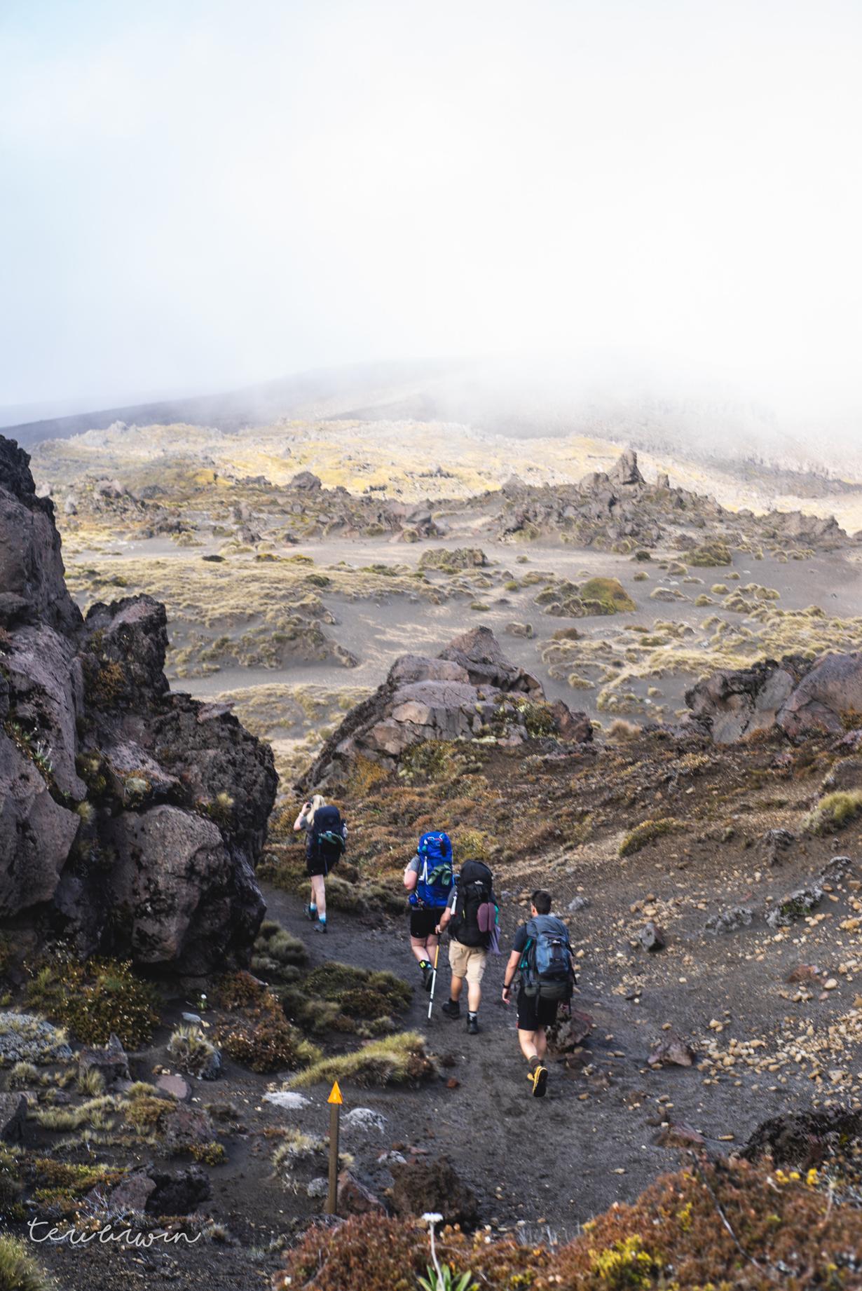
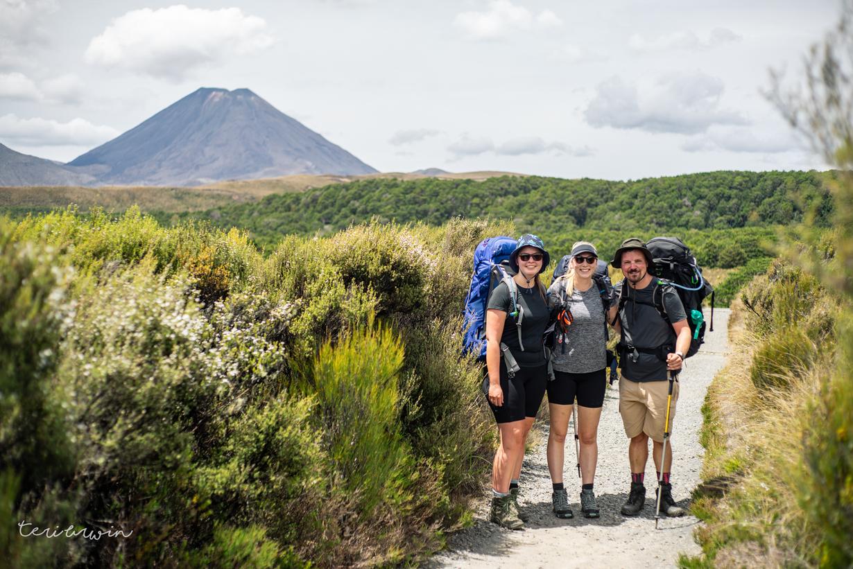
This was the day! At the visitor centre yesterday we were heavily warned about the weather forecast for the day we would do the crossing (bad) - but I was determined. The others had done the crossing previously, but this was my first time and given it's not an easy place for me to get to I suspect it will be a while until I return.

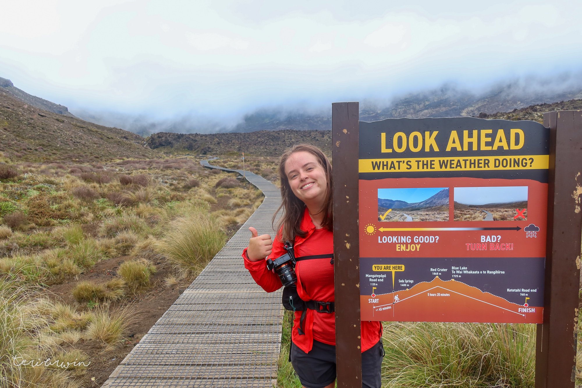
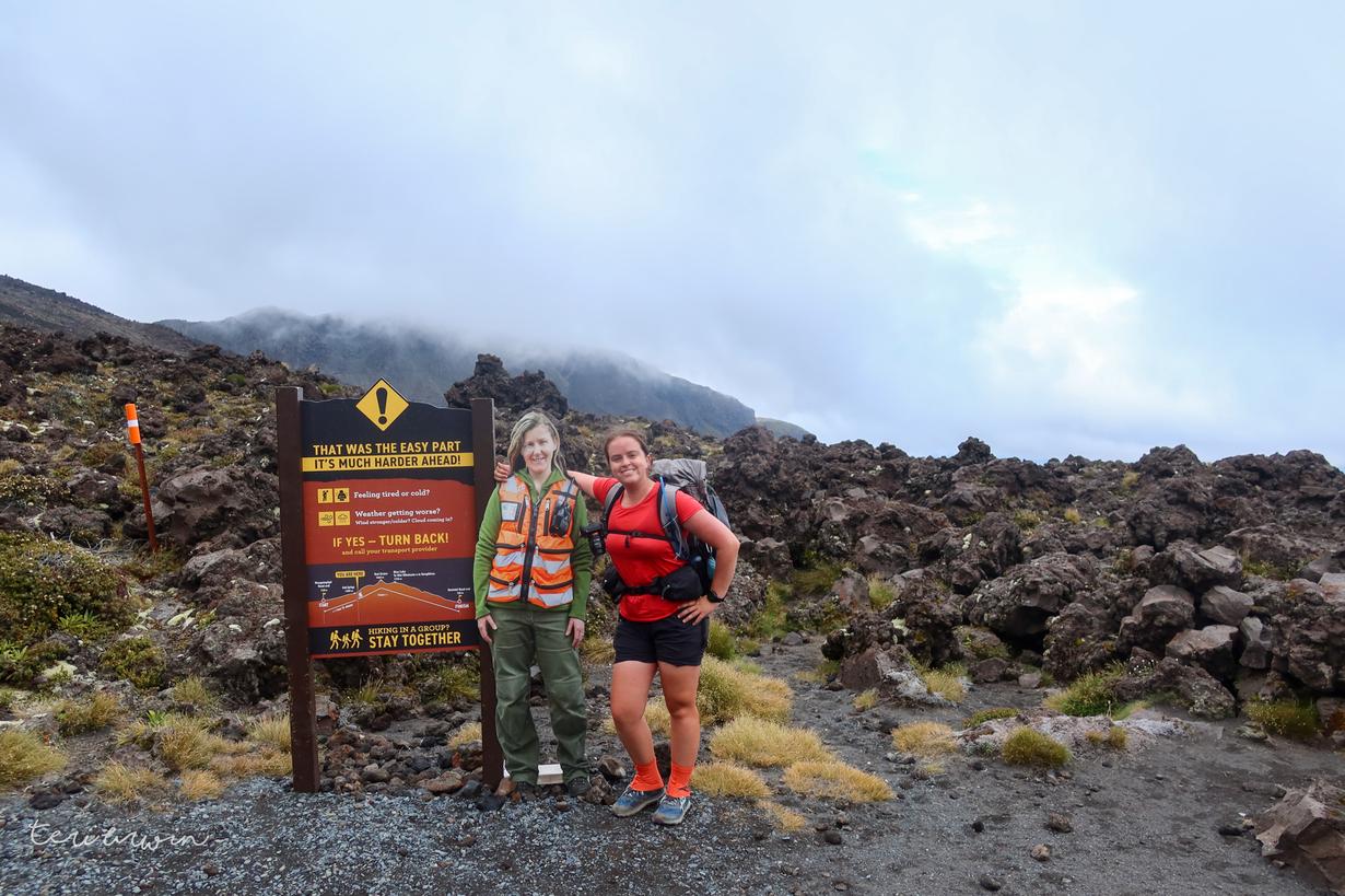
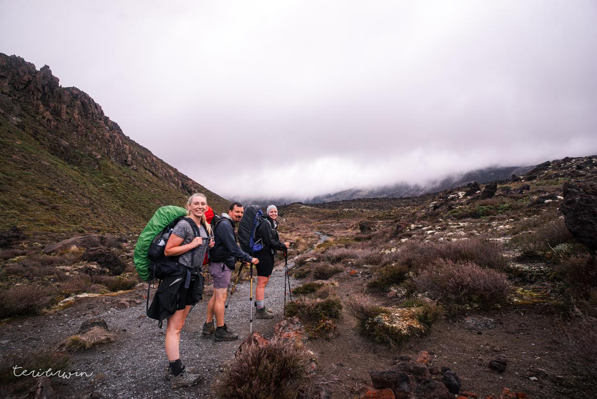
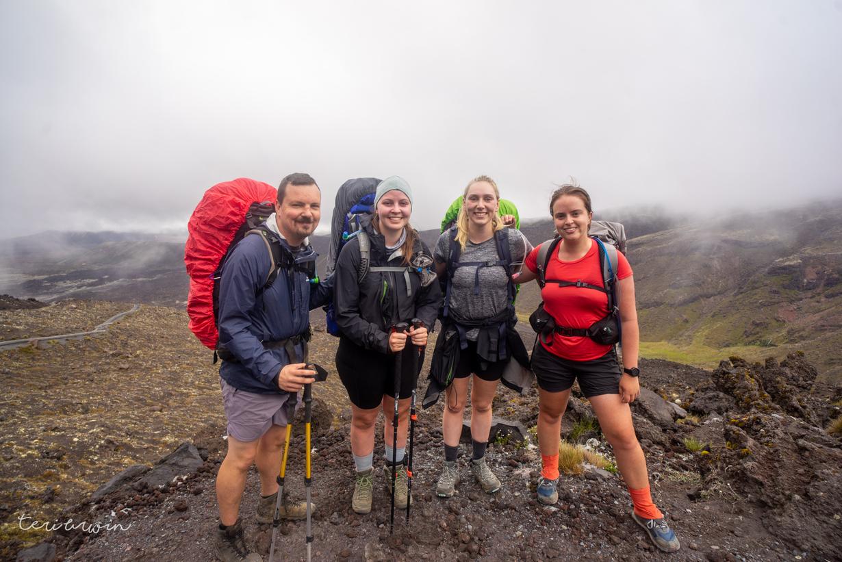
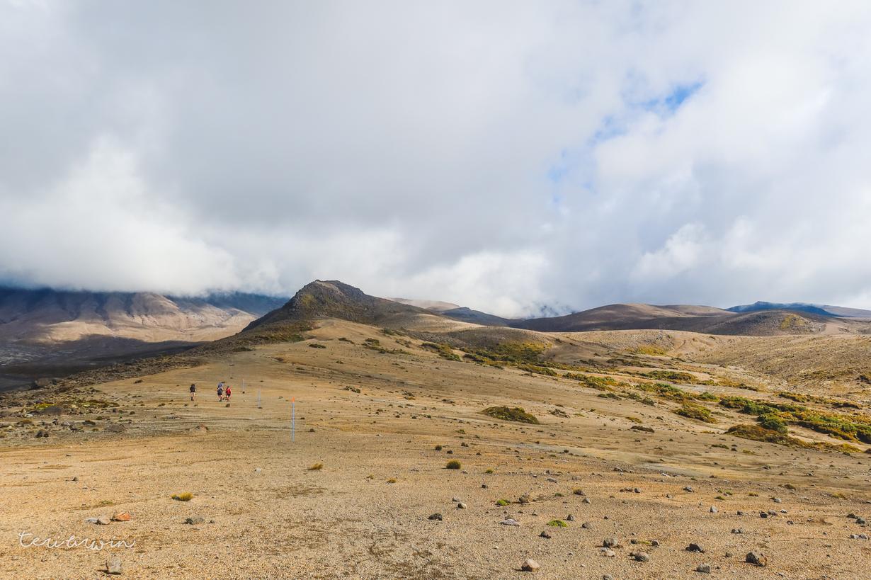
The day dawned, and the weather was still not looking great - not terrible, but not great. We had a chat to the warden, who noted the wind forecast wasn't as bad as it could have been and that was our main concern. Taking stock of our gear, experience and preparedness, we decided we'd be fine to go on ahead (with only slightly nervous laughter when we came to the taking stock signs).
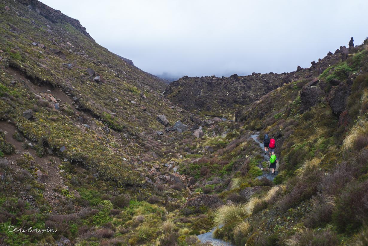
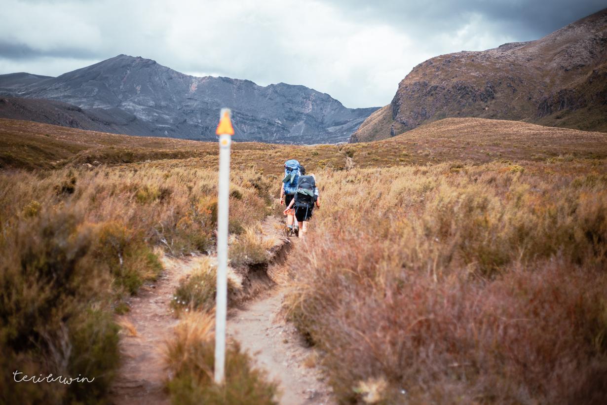
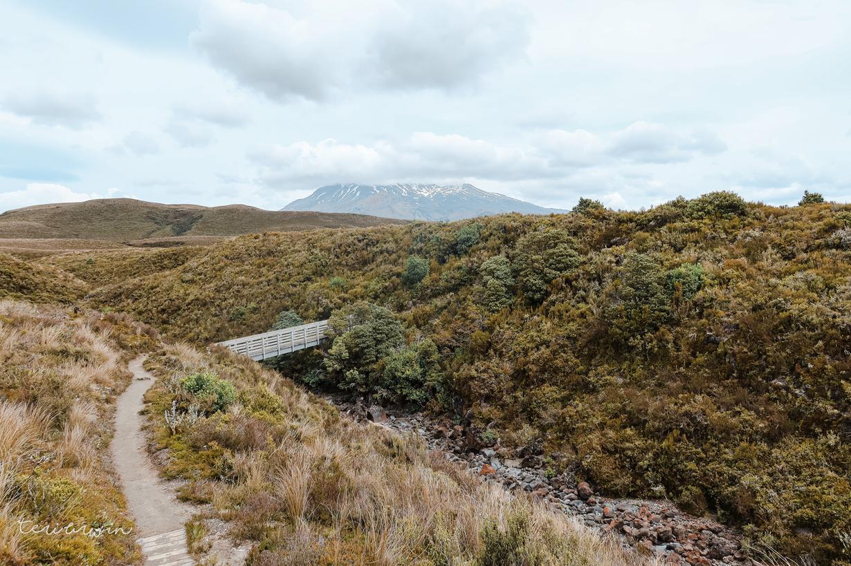
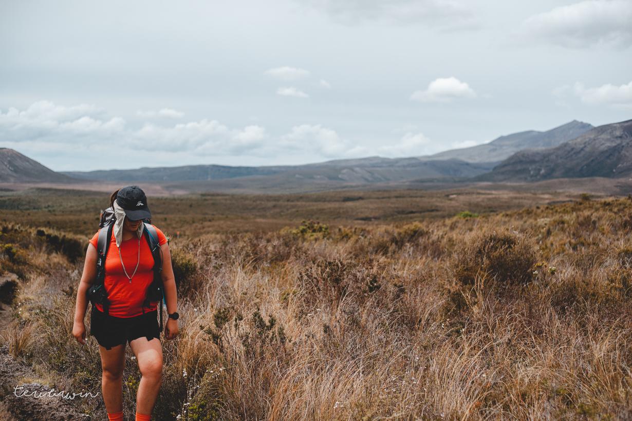
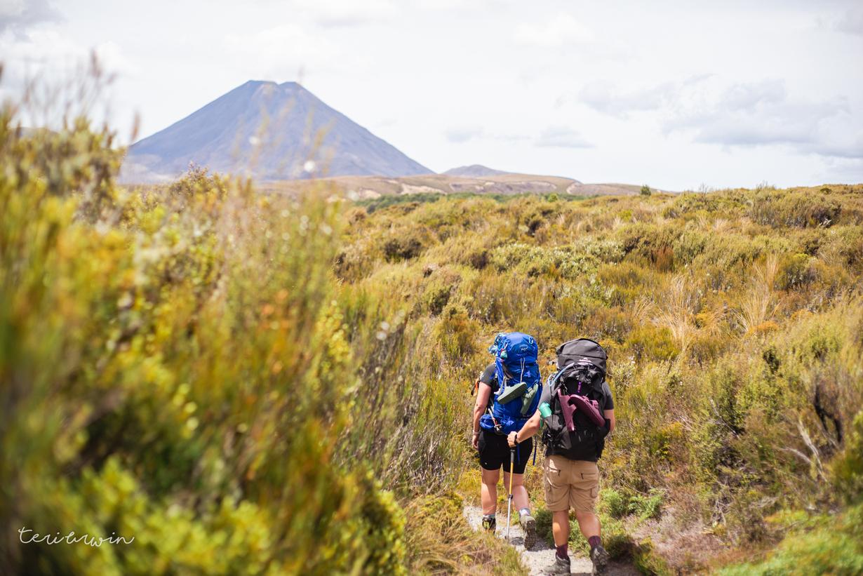
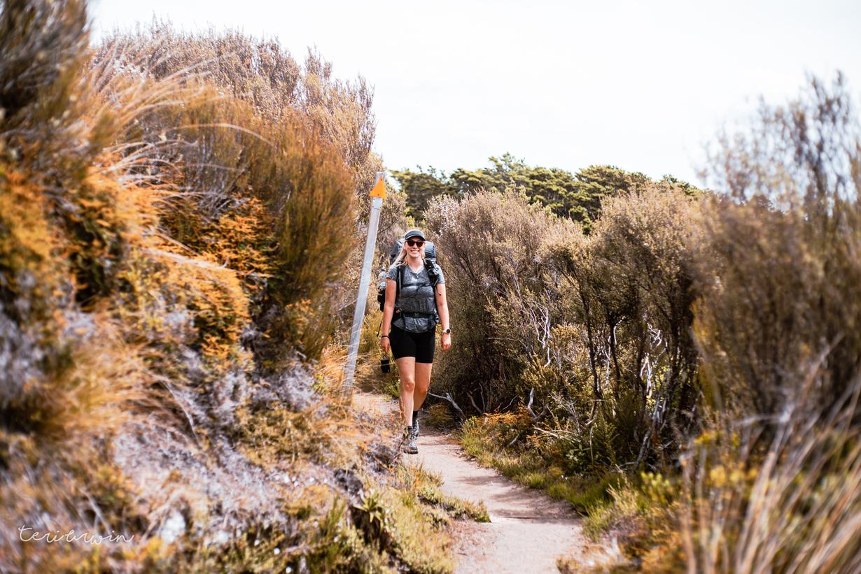
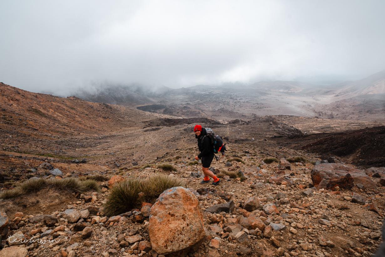
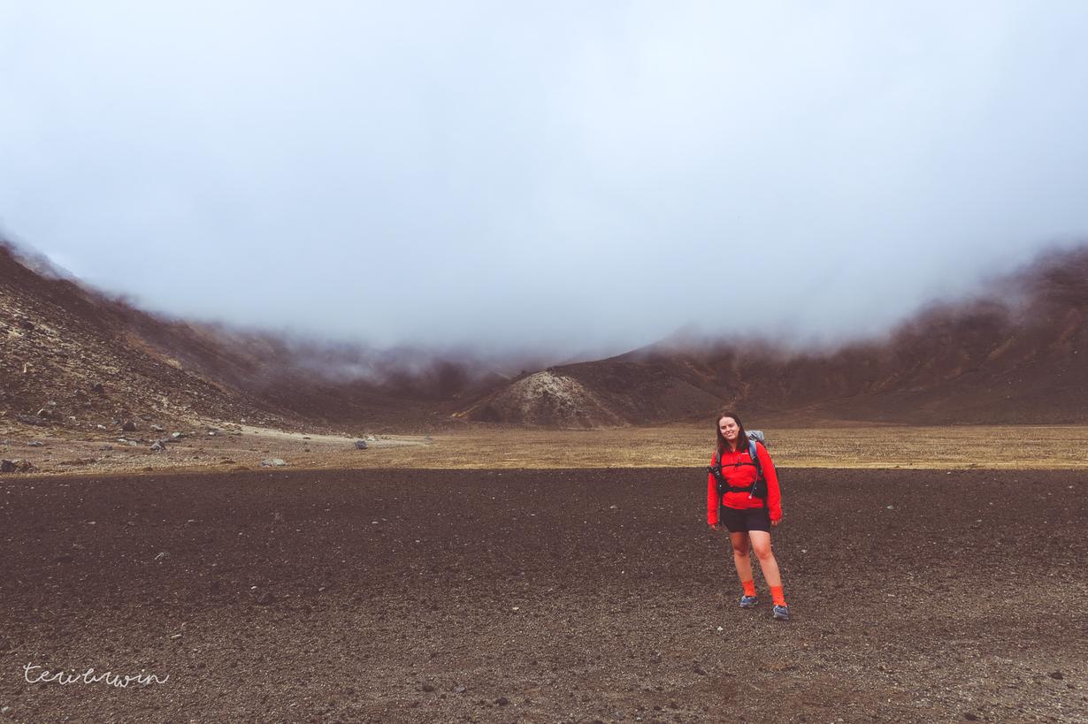
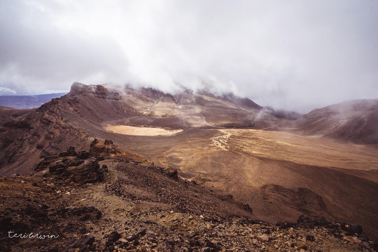
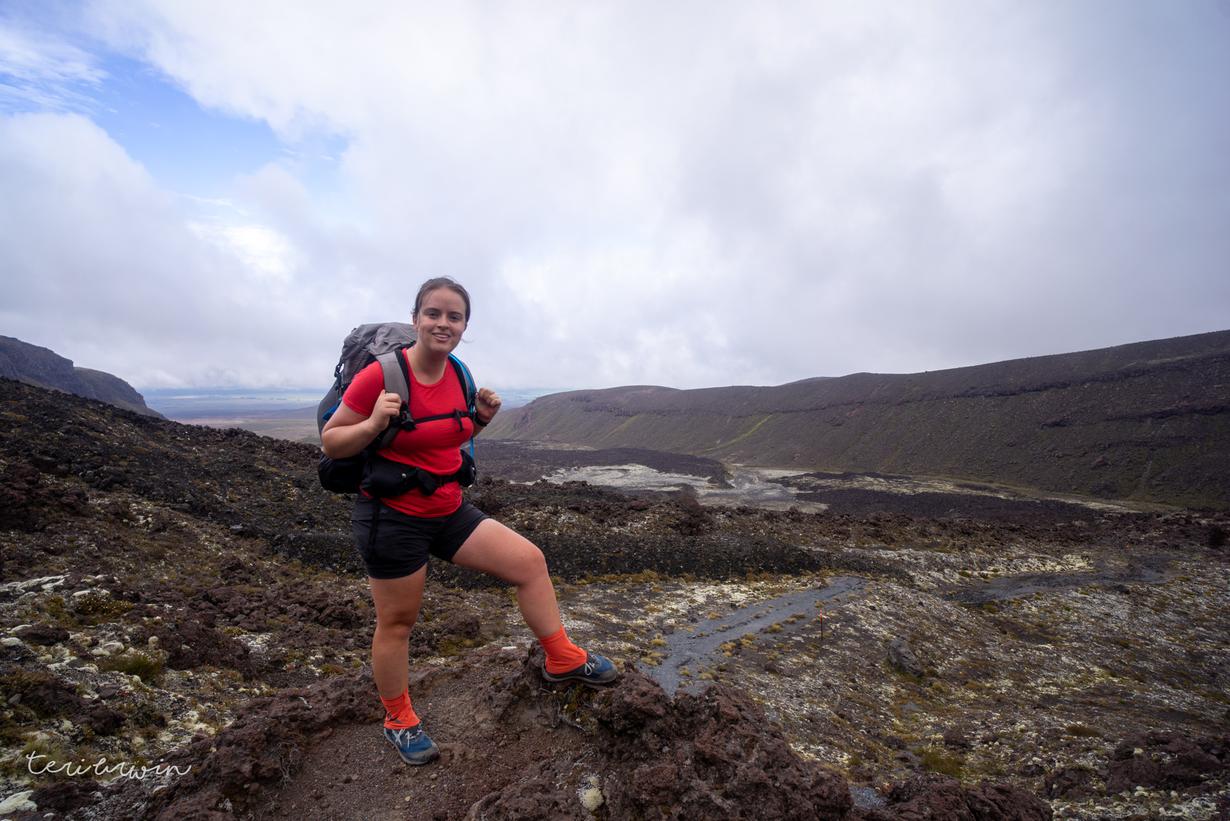
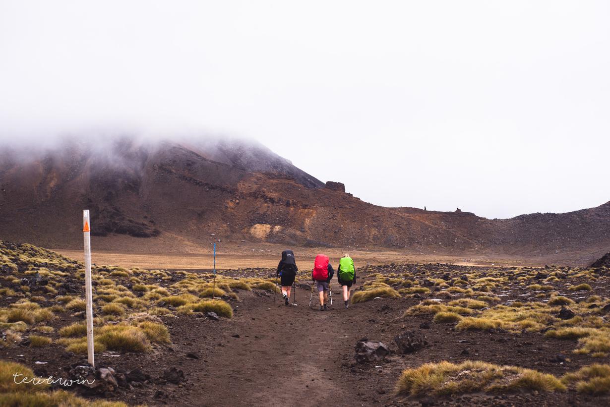
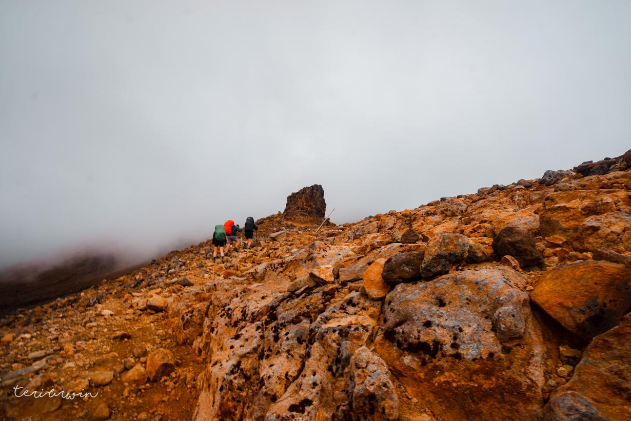
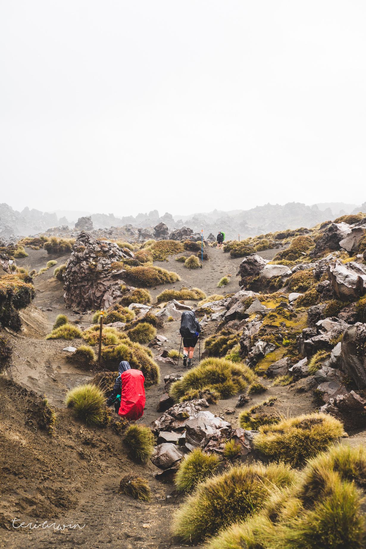
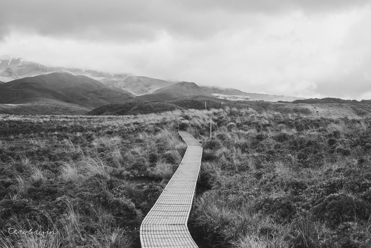
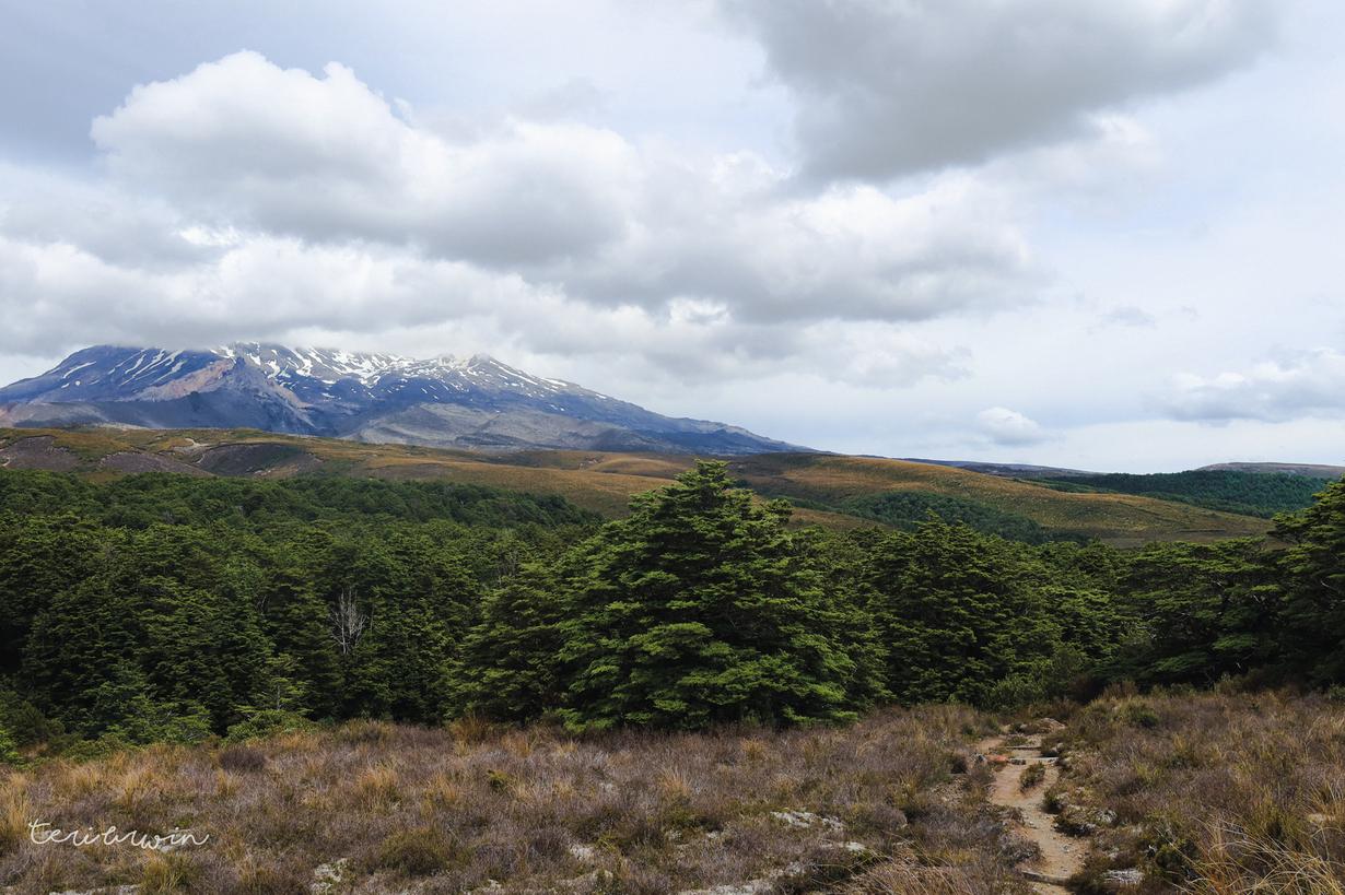
Honestly - it was fine. The low visibility was a bummer, but the rain held off until we were over the crossing and the standard wind wasn't too bad. There were a few exposed areas where we had to duck down while it was gusting, but generally it was fun!
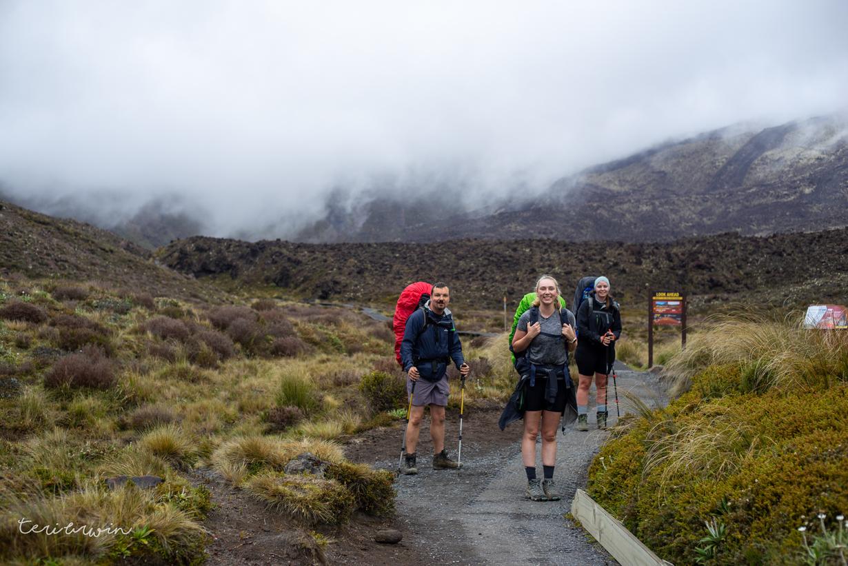
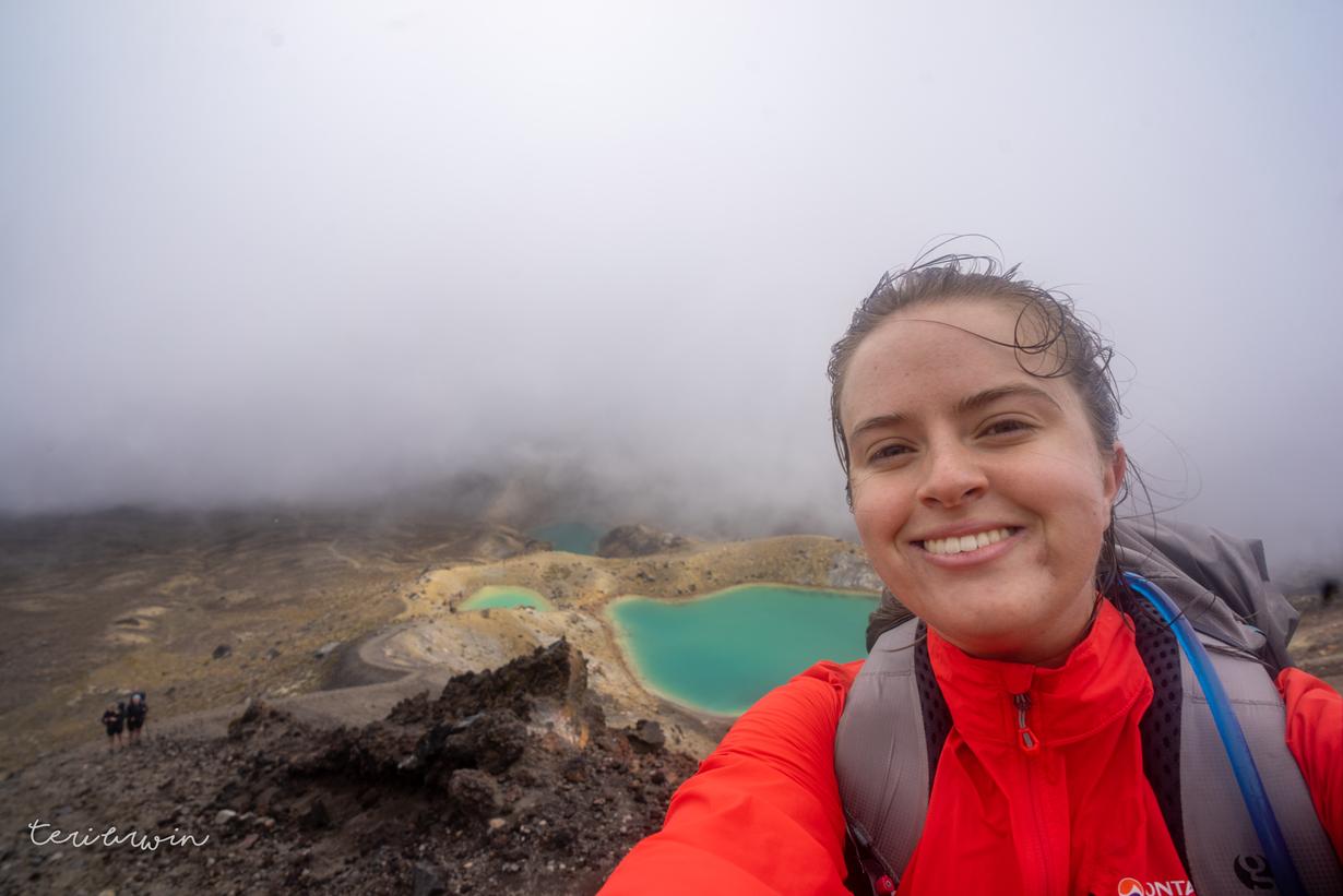
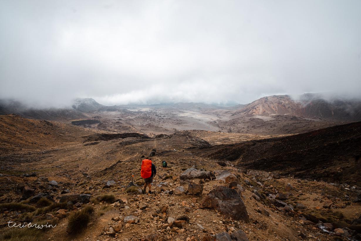
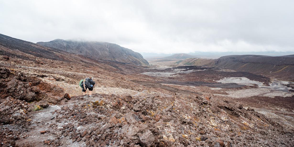
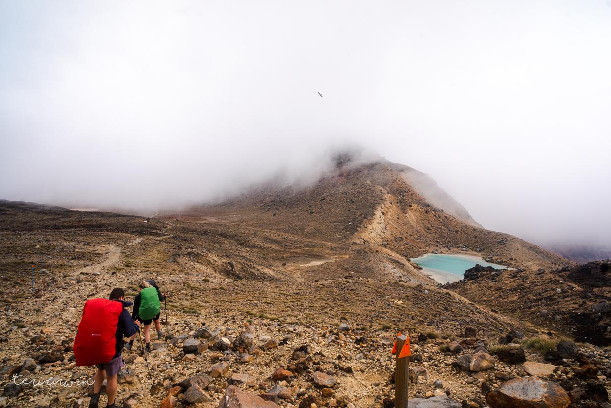
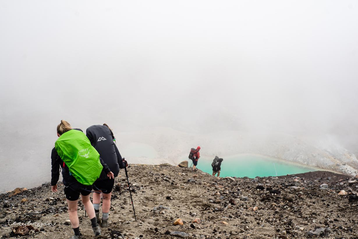
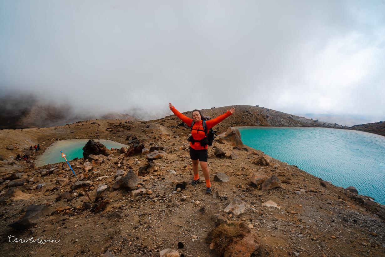
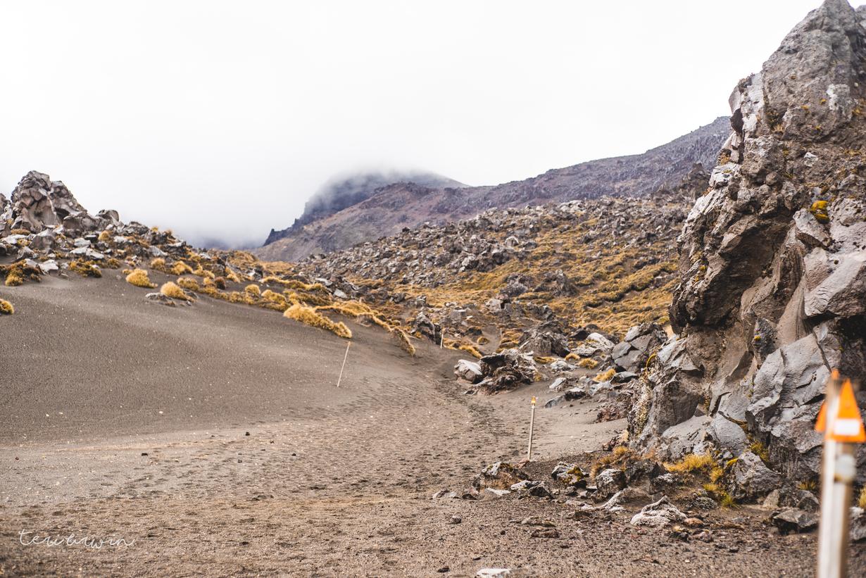
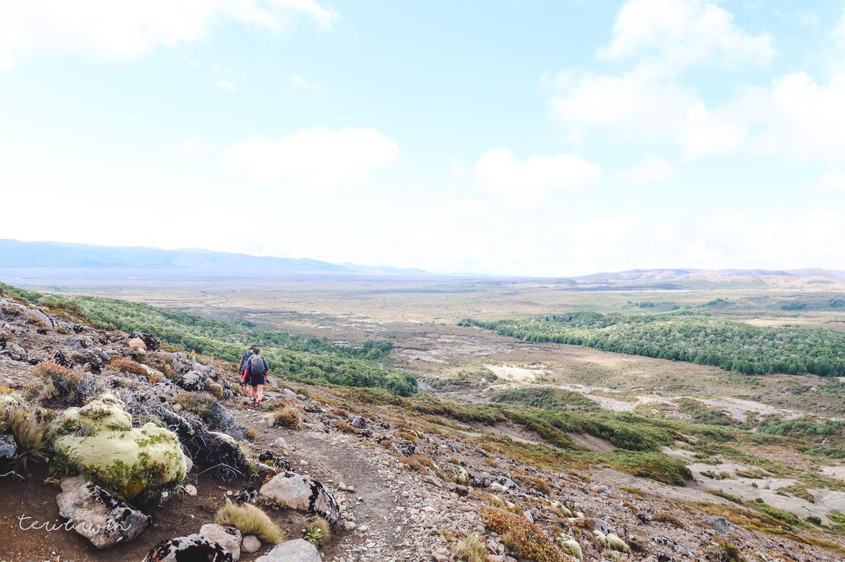
The scree portion coming off the crossing down to the blue lakes was a fun surprise for me. This was probably the most technical part of any great walk I've done so far and I had a freaking ball, threatening to scree run off and leave my mates. Honestly, if the visibility had been better, I definitely would have waited at the top and slid the heck down. Good times.

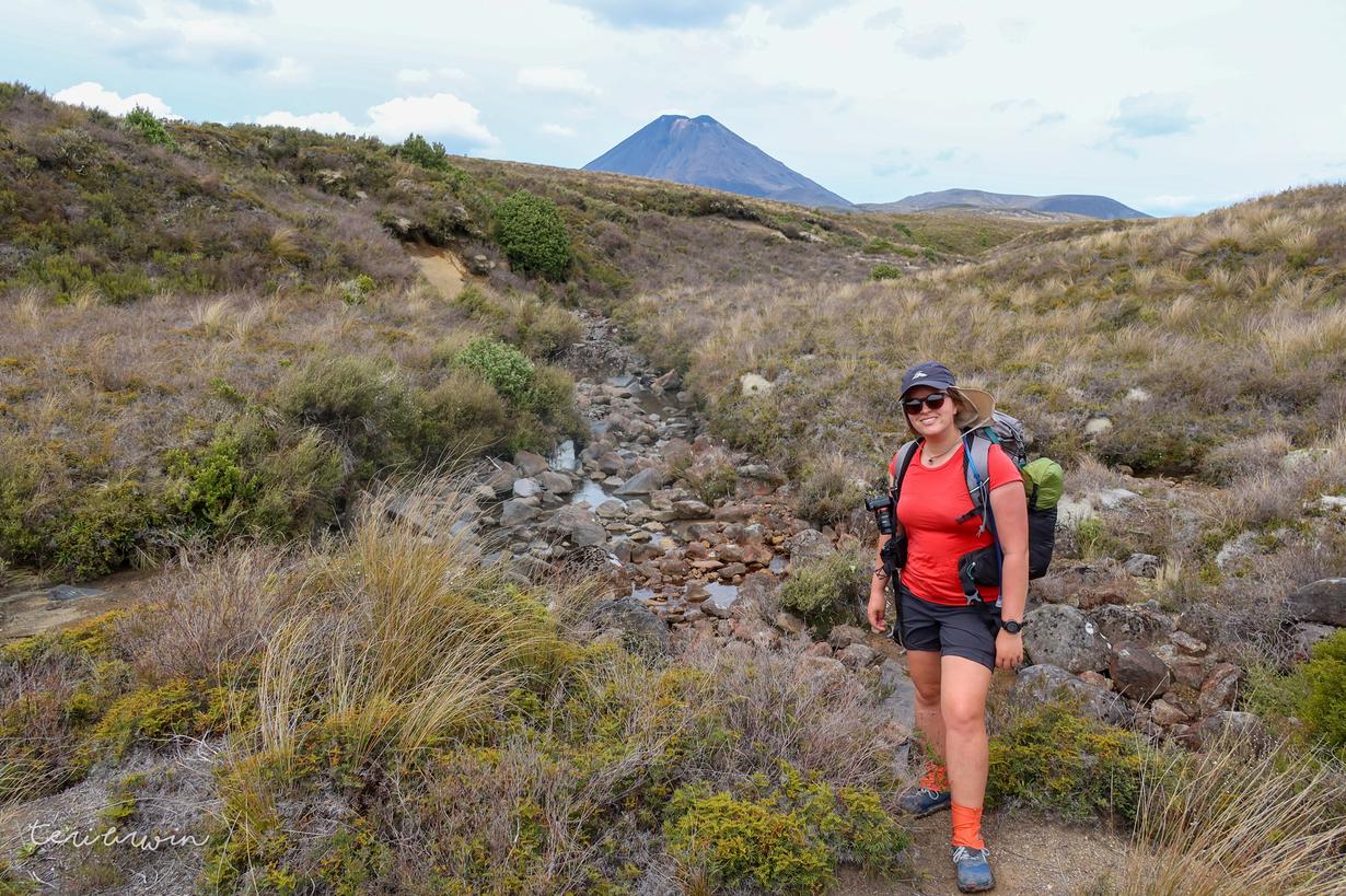
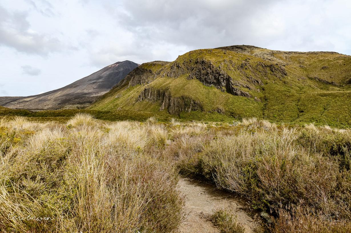
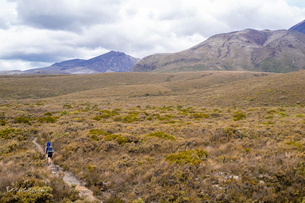
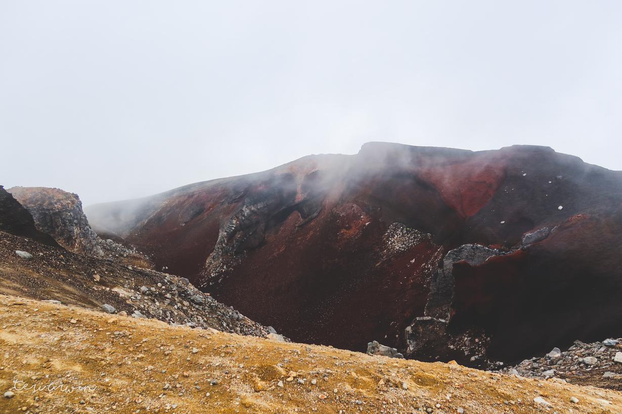
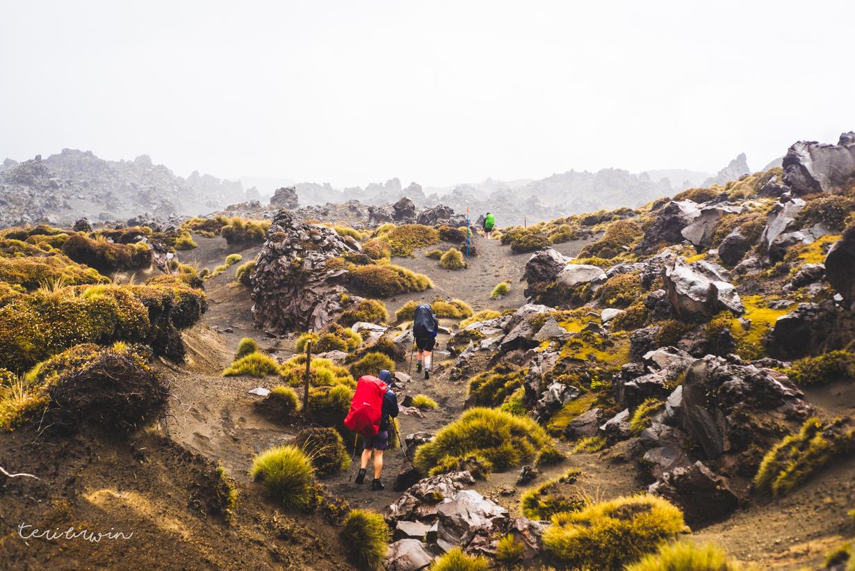
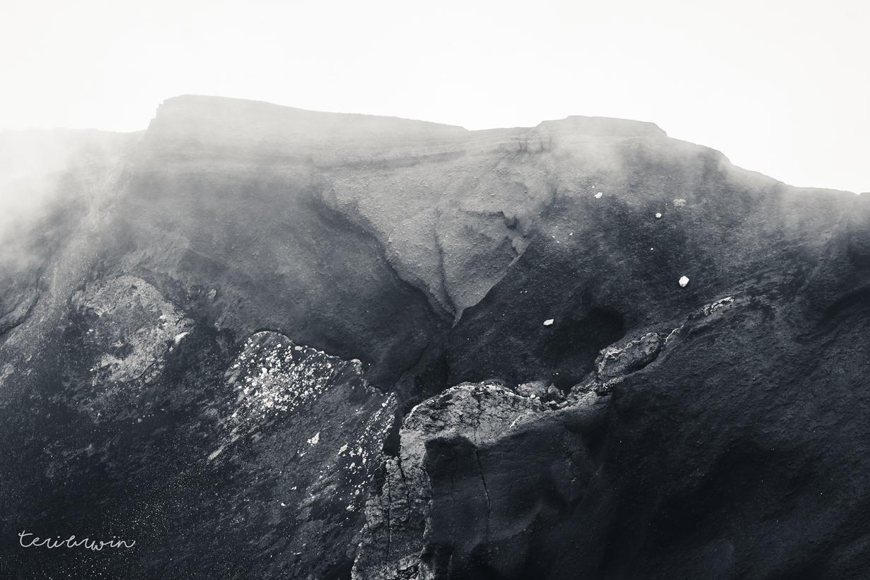
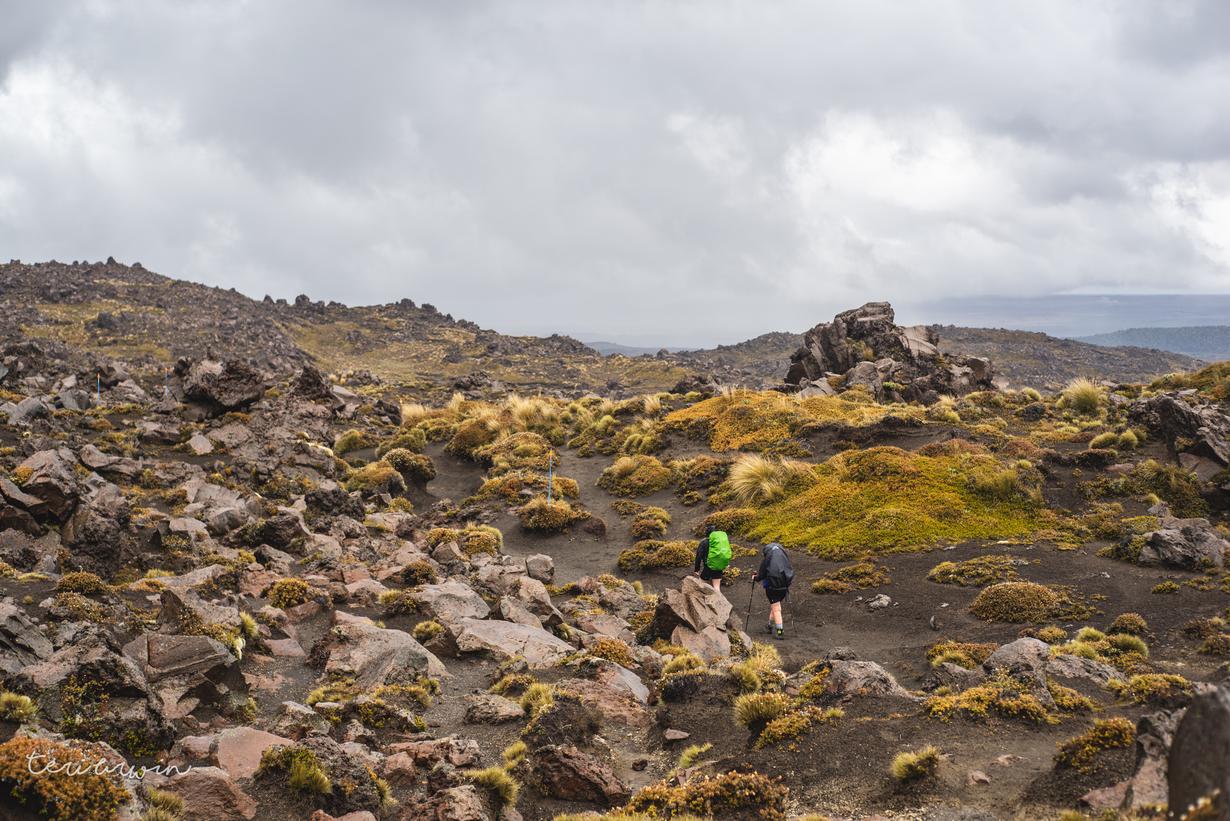
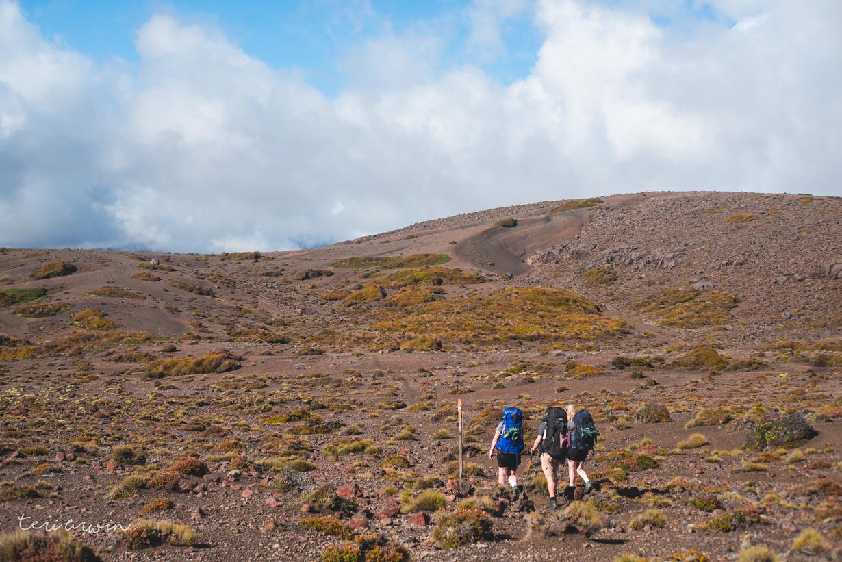
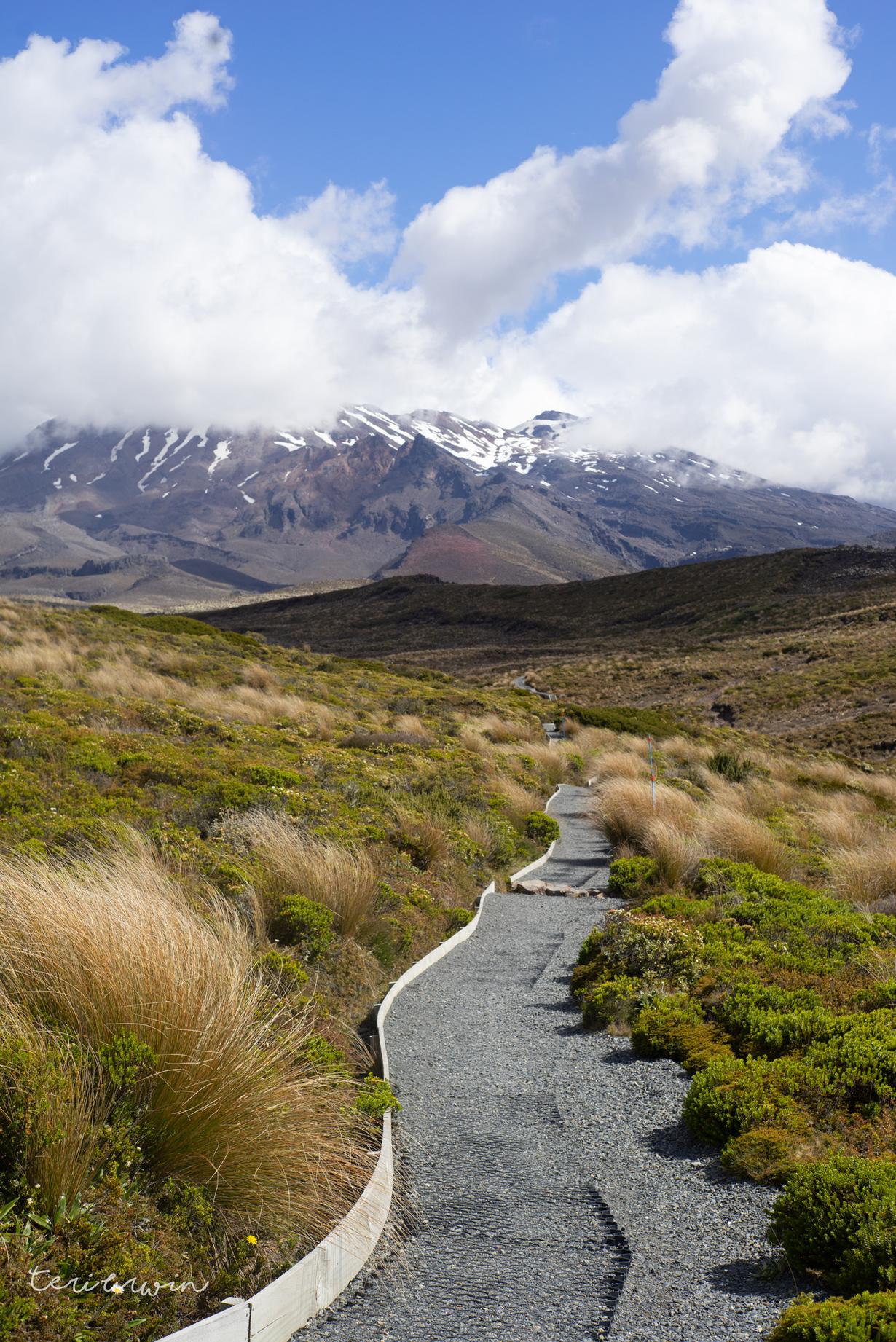
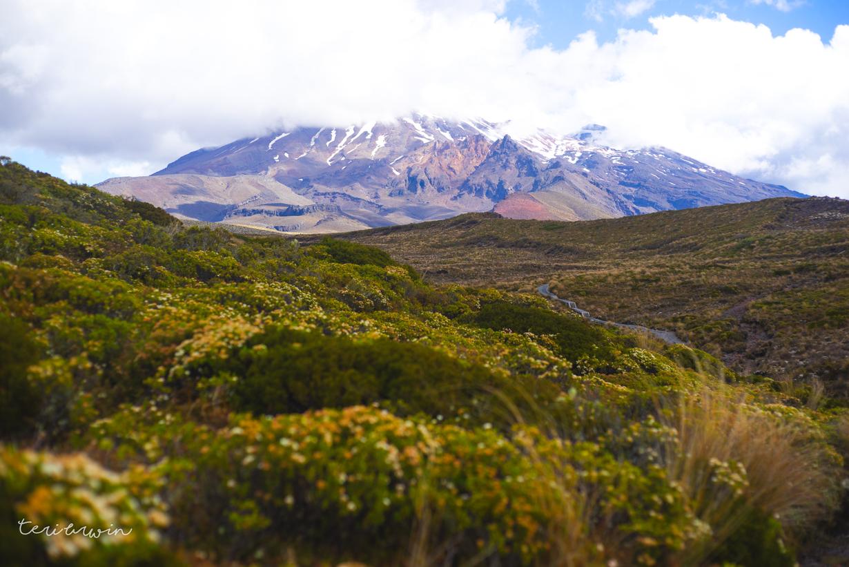
After a slow and steady descent (sigh) we ate lunch at the blue pools then headed to the hut. While it started raining on the way to the hut, I had a ball in the weird and wild landscapes. I love Fiordland - think I always will - but the extreme difference in environments really made the trip for me.

    Day 3 - Oturere Hut to Whakapapa

    Garmin link | 30km/9.5 hours hiking

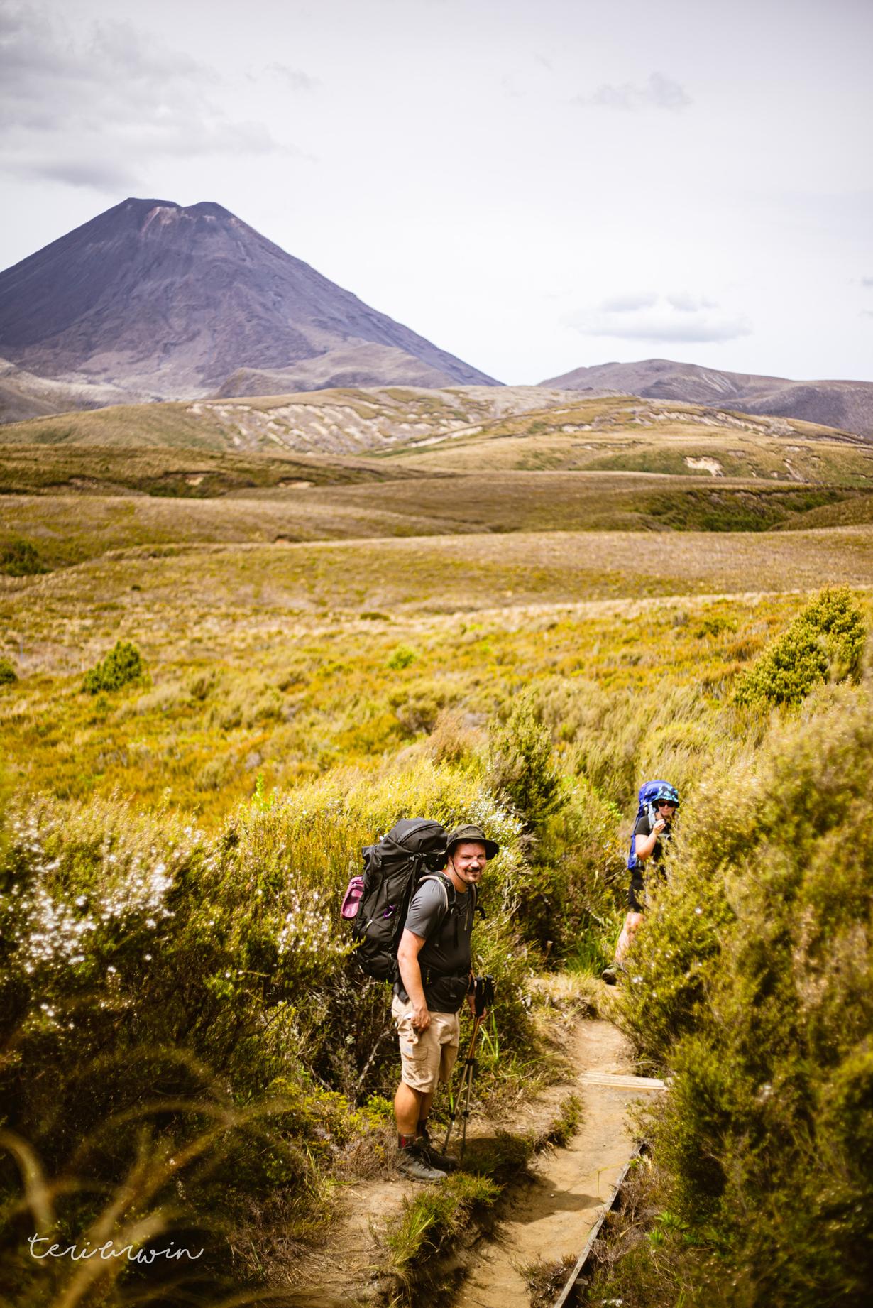
    The previous night at Oturere, we had started chatting with a lovely hiker from Christchurch who was travelling solo, and so we joined forces between Oturere to Waihohonu. We must have been a sight - he talked about running Paparoa, while I think I'm up to week 4 of couch to 5k (I think. I keep los ing track).

    We made our way on the wee walk between Oturere and Waihohonu hut - Waihohonu has to be the flashest hut I have ever seen, and believe me I've seen some flash huts (Pinnacles, Milford, Routeburn...) The hut was only a 28 person hut but had bigger living space than even the ~55 bunk Pinnacles hut in the Coromandel, with large tables, beautiful gigantic windows with views of the mountains, and board games scattered around (scrabble, chess... the lot). It would be a lovely destination in of itself, and the others got to enjoy a nice full day here after we arrived at around 10:30am.

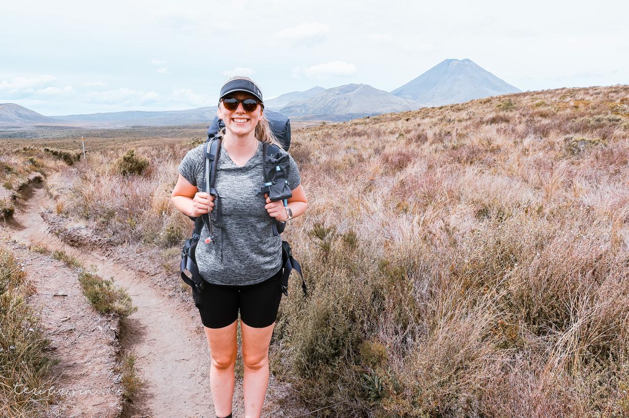
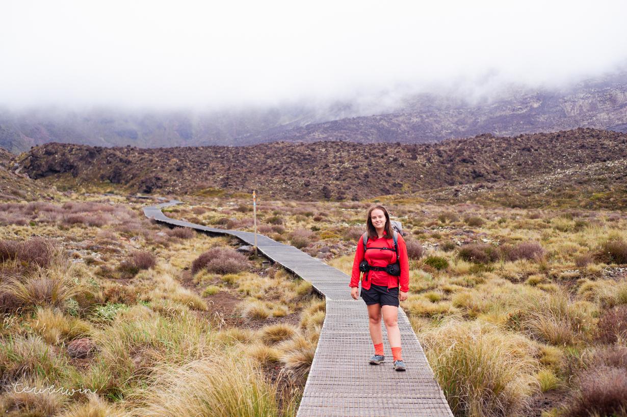
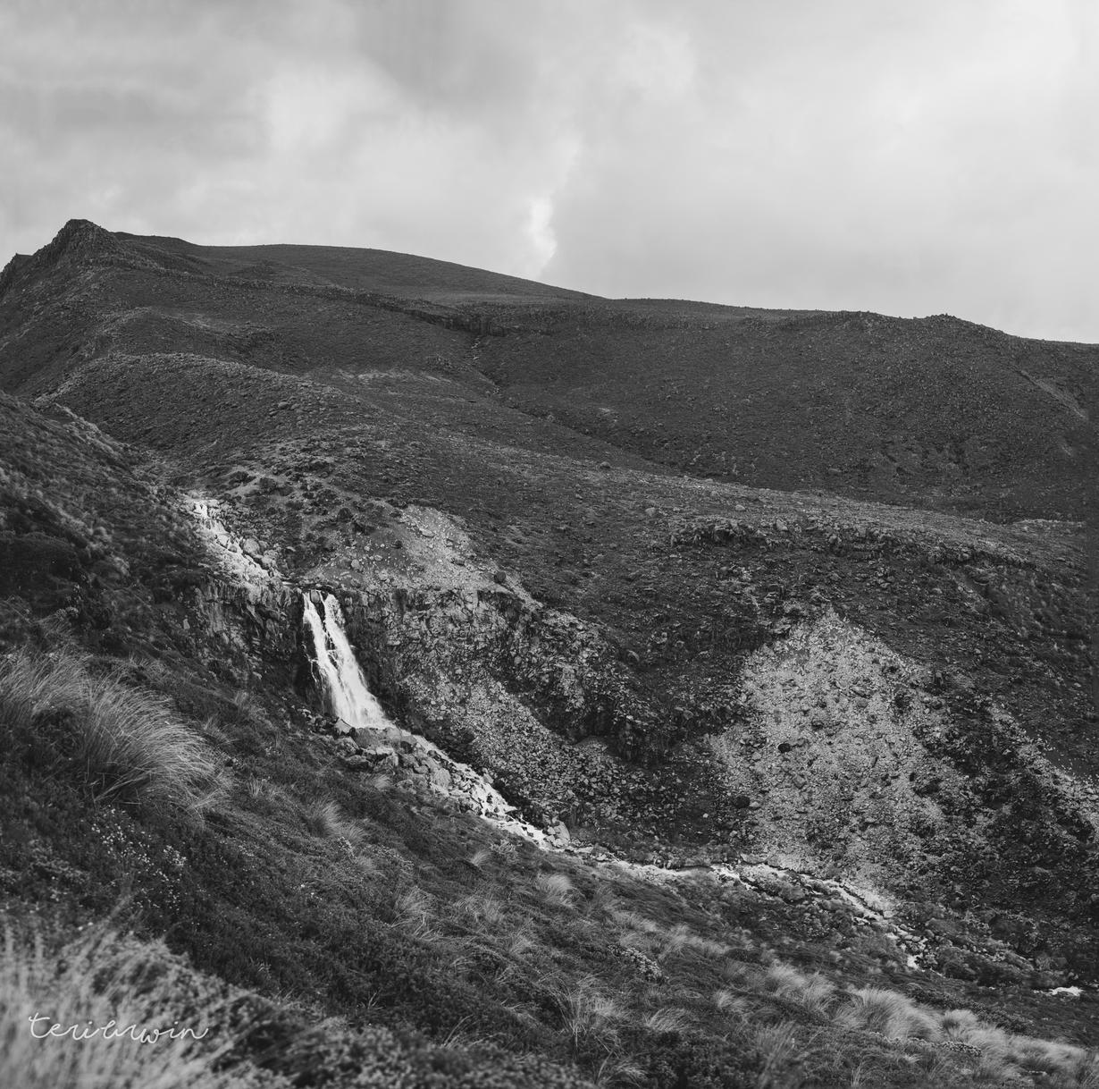
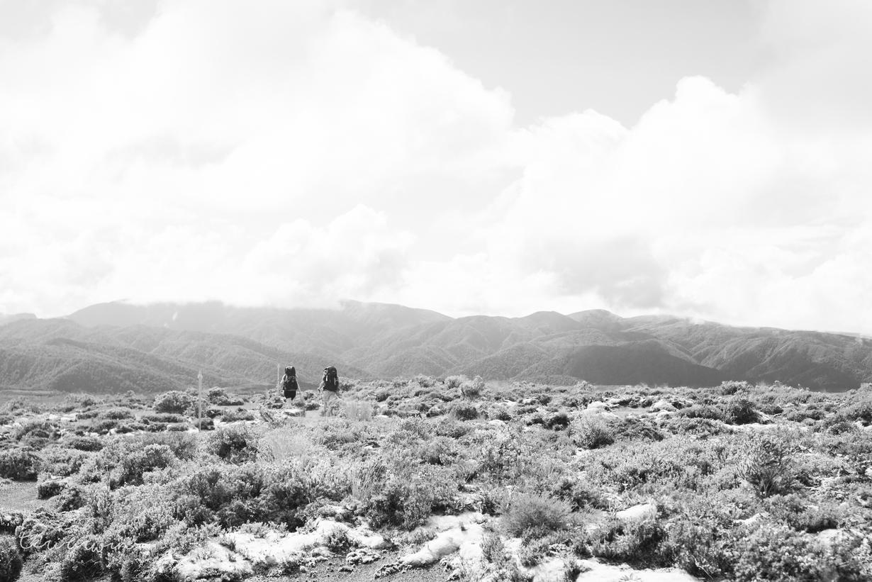
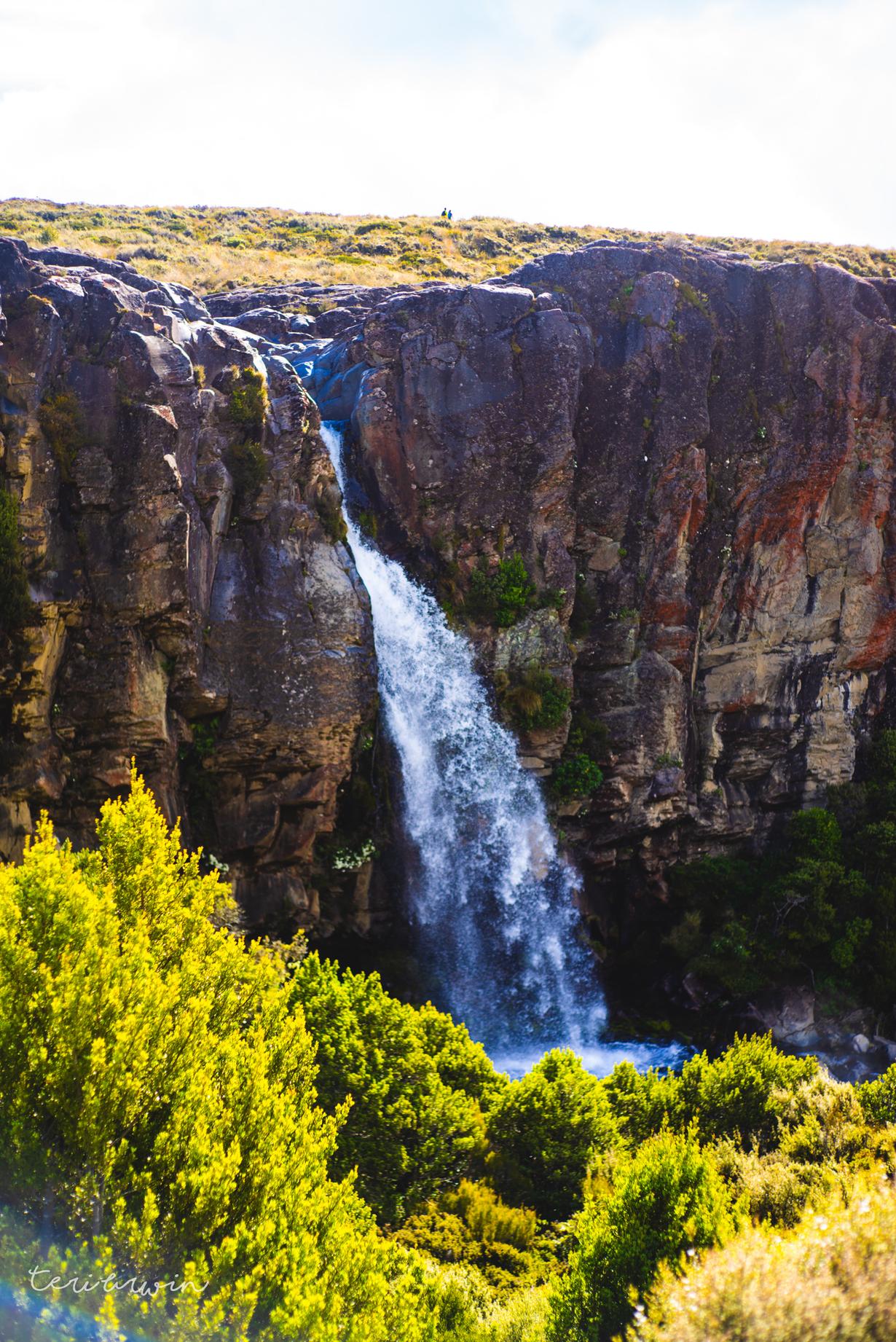
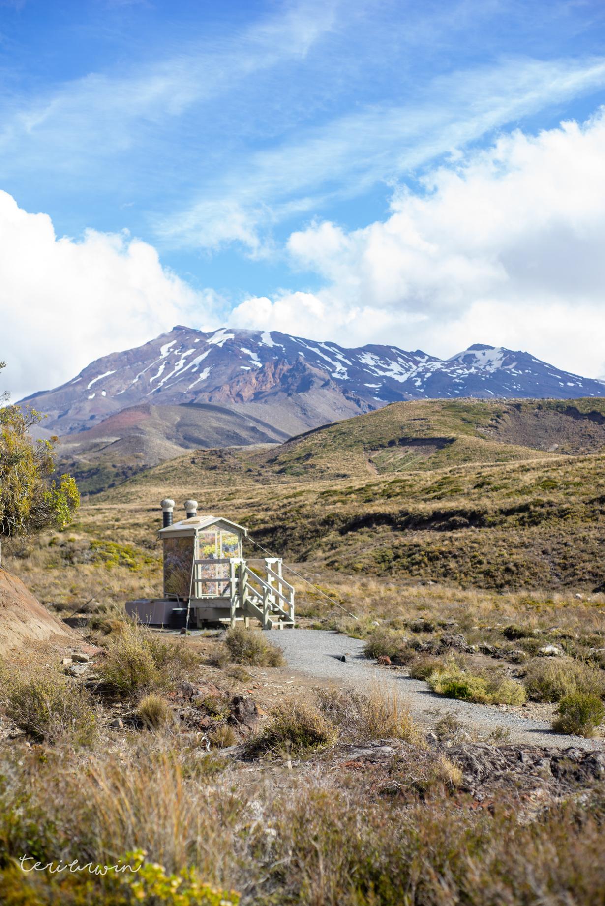
    I had, however, booked my flights back south the next day due to some terrible communication from my dad, so I left them with their board games and powered on and out. It was weird but nice hiking solo again - the final day was relatively flat except for a side track, long and meandering through an alien landscape. I headed up to Tama Lakes (definitely recommend!), saw the sights of Taranaki falls, and enjoyed the unusual attempts of DOC to camouflage the long drops. I got back into Whakapapa at 6pm, and fuelled mostly by "Energy chews" which I later found out had significant amounts of caffeine in them, drove the 5 or so hours home to have a night at home with my pups before heading back south.

    A very enjoyable trip, all up!