Komoot (estimated, watch not available) | DOC website (note photo is from linked Mt Cargill track)
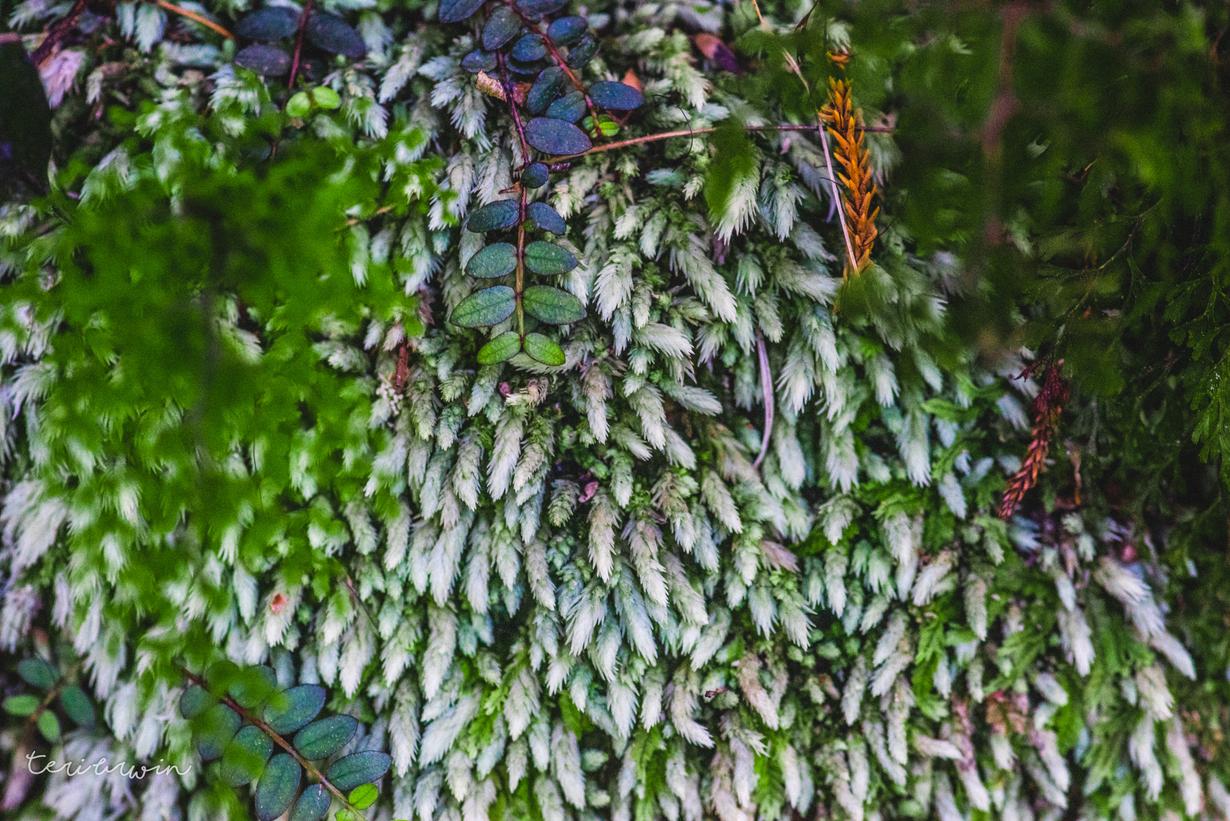
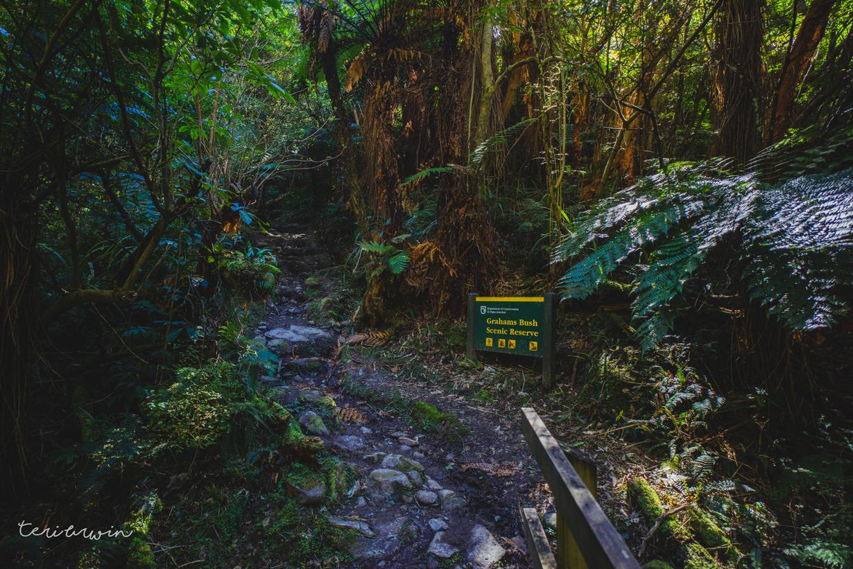
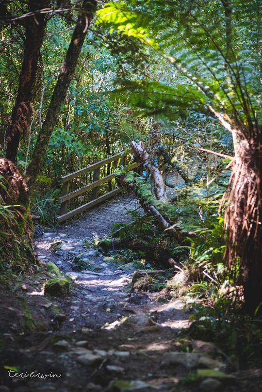
The track is a tale of two halves. The first half from Sawyers Bay through to Mt Cargill road is a well formed bush track, with a steady continual climb, switch backs and full bush track. All wee stream crossings are bridged and when walked in September, there was a small bit but not significant mud.
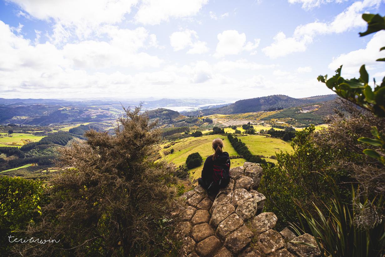
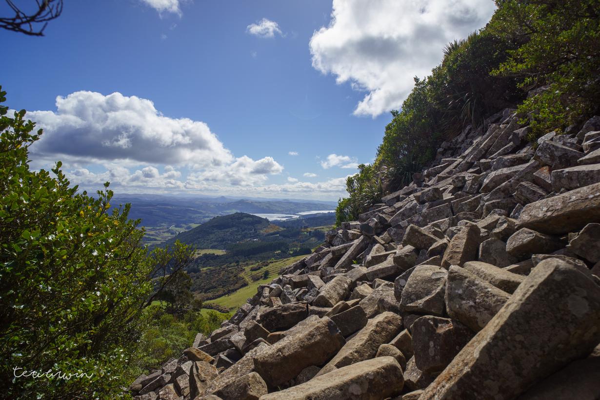
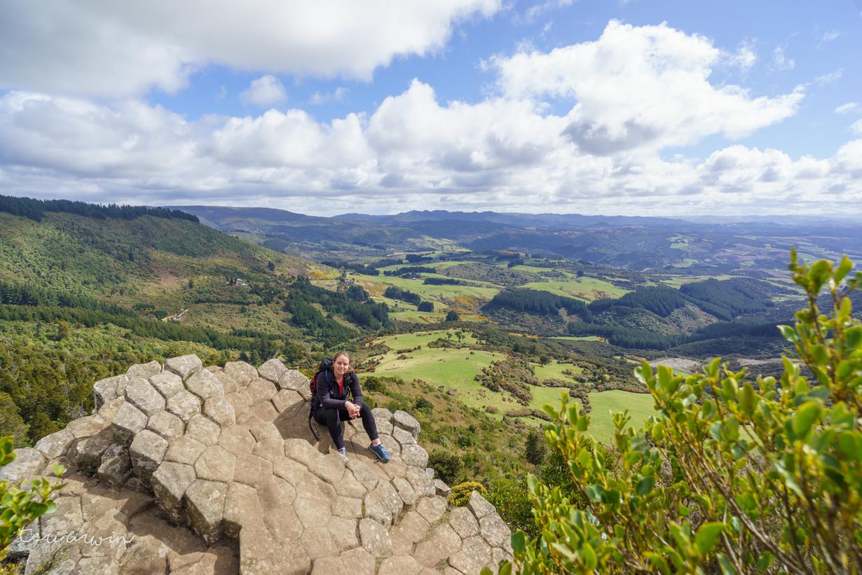
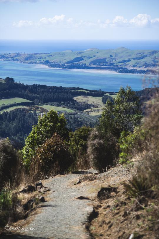
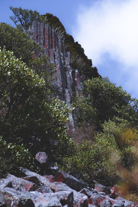
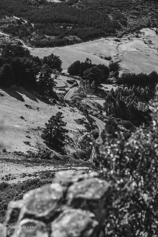
Crossing Mt Cargill road (where you can park for an easy 20 minute wander to the Organ Pipes) it continues being steep bush switchbacks for 5-10 minutes and then opens into some lovely views. There is an option to continue to the top of Mt Cargill where the radio tower is for great views, heading alongside Buttar's Peak.
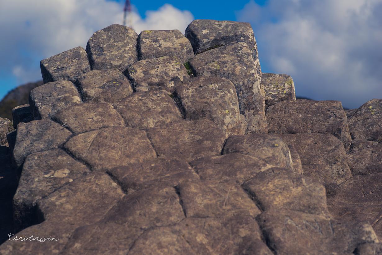
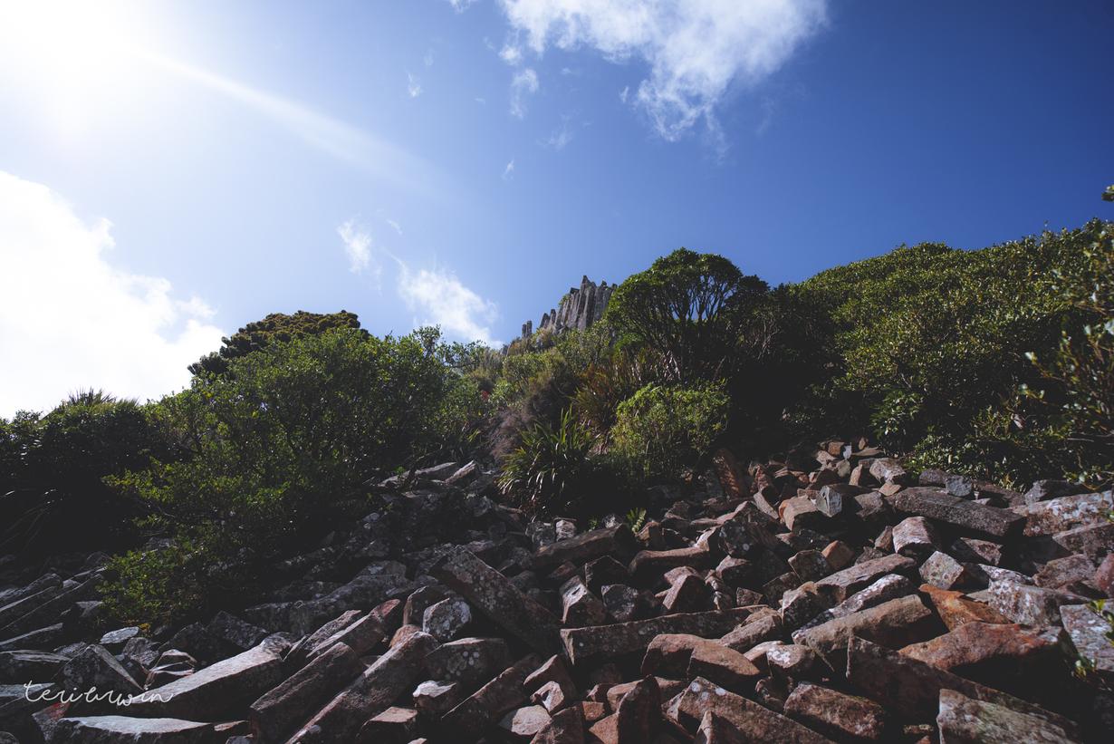
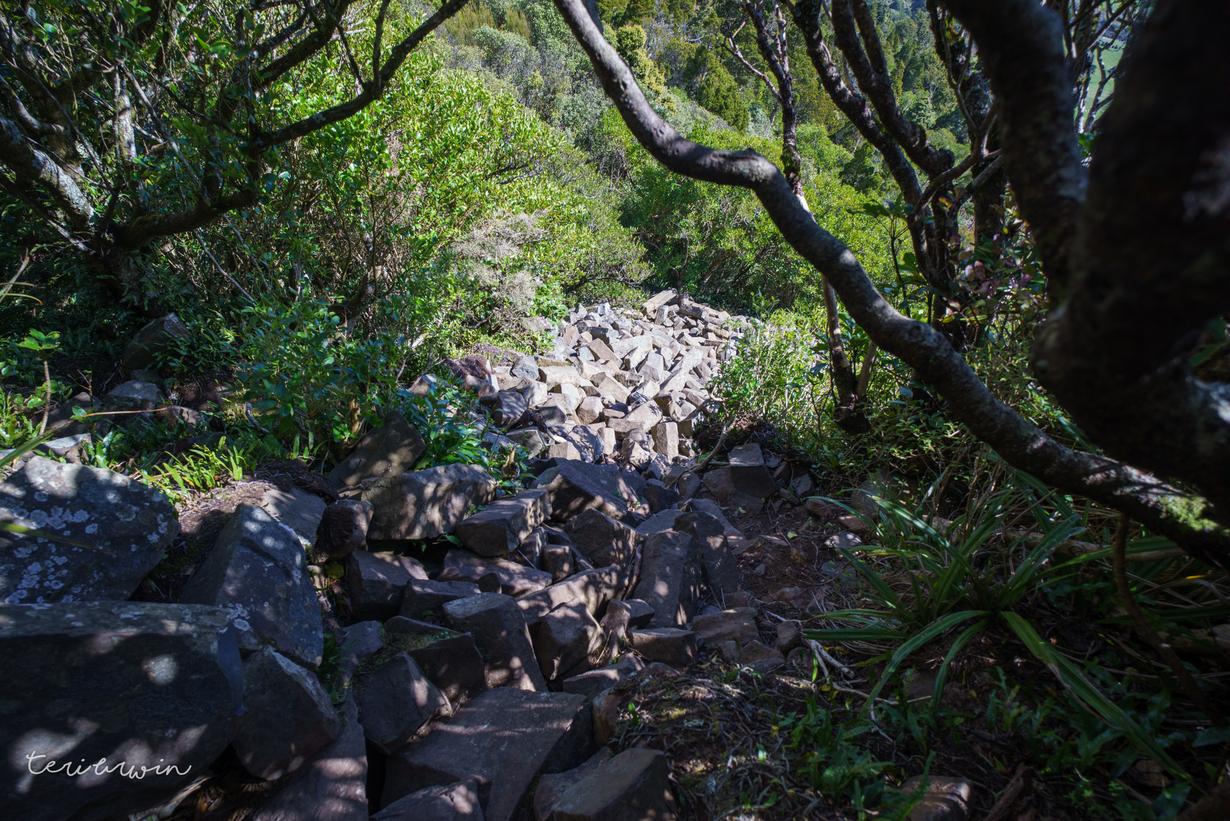
To get to the top of the Organ Pipes, you need to scramble up the basalt rocks - there is no defined track to the top of the pipes (or if there is, I haven't found it!)
