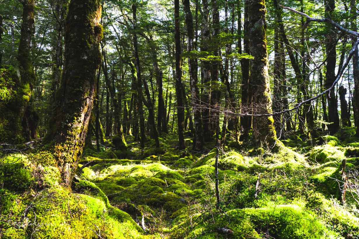
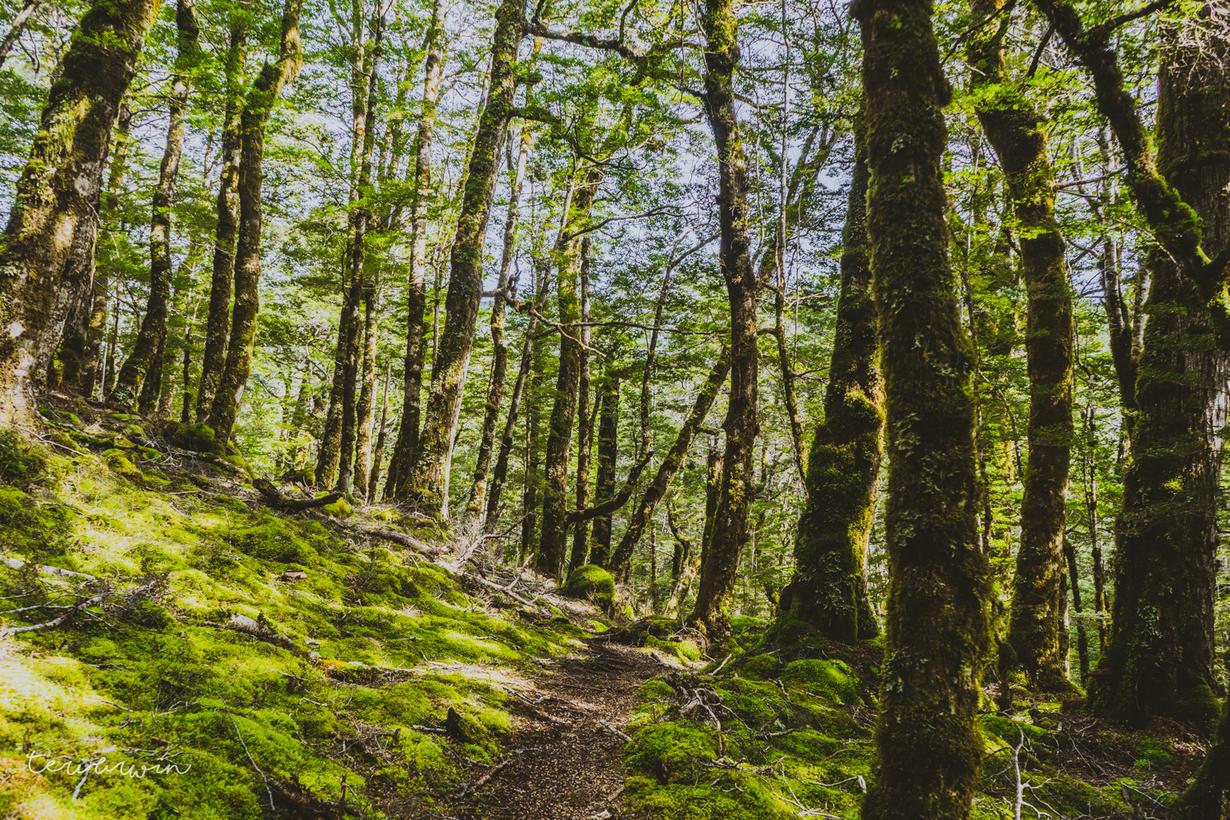
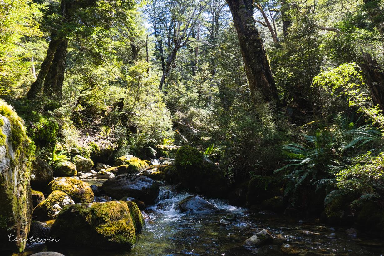
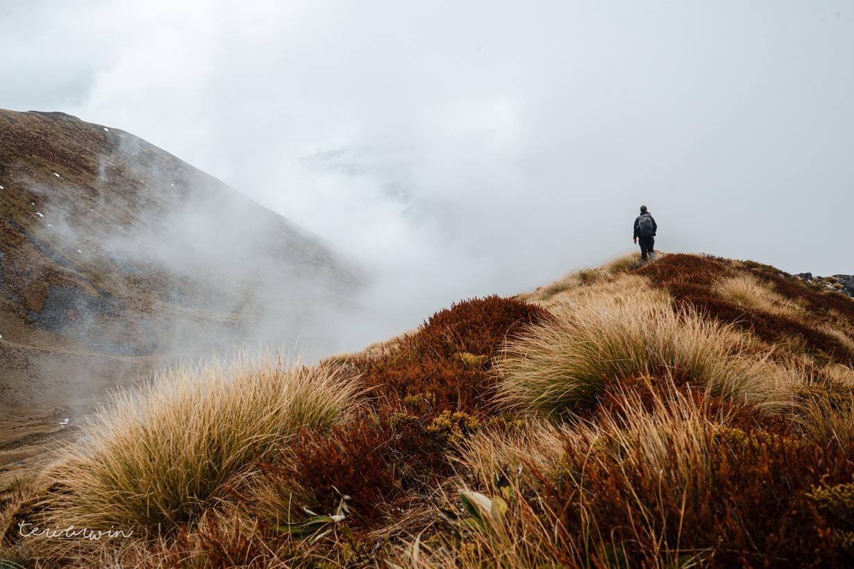
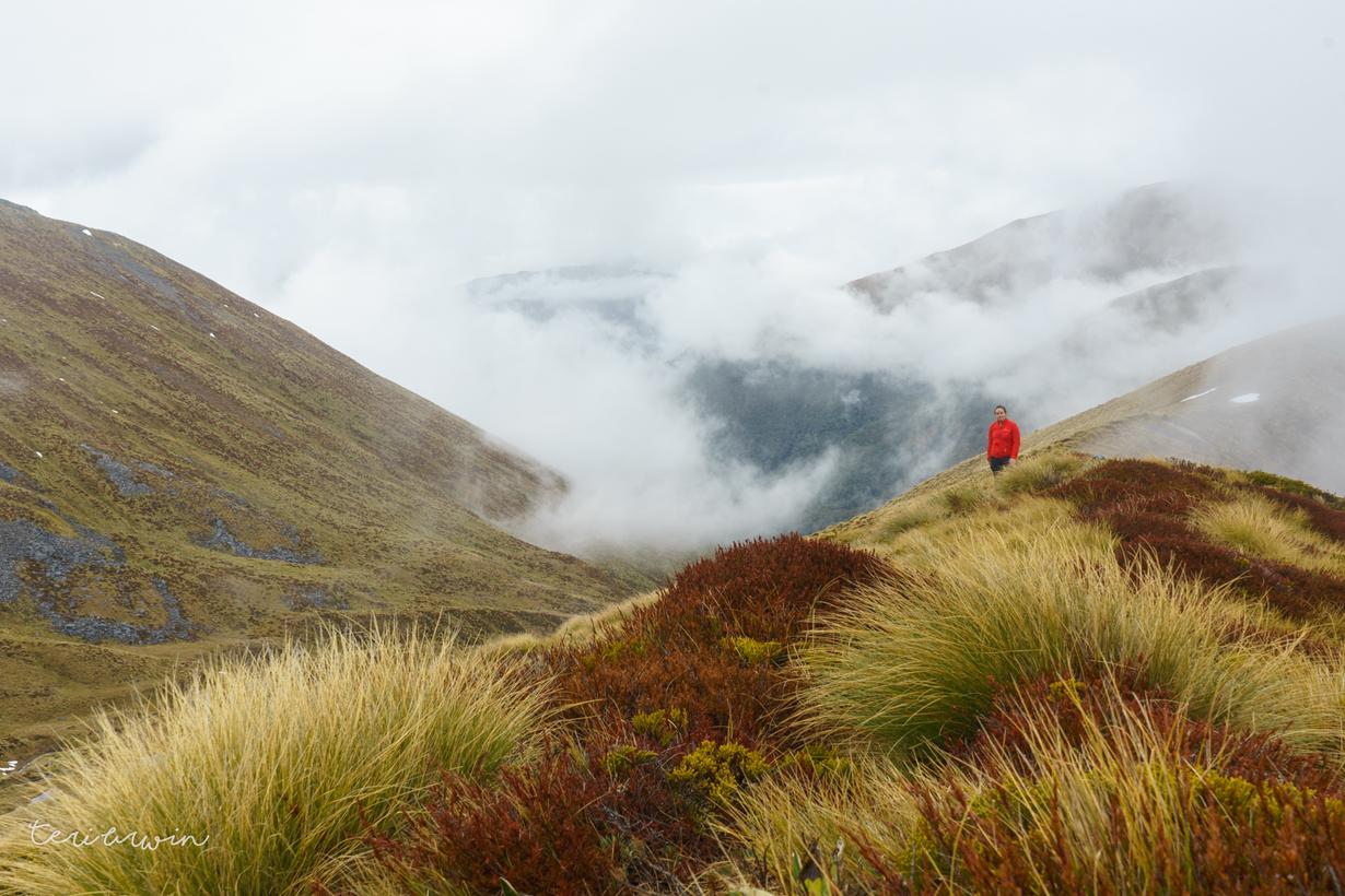
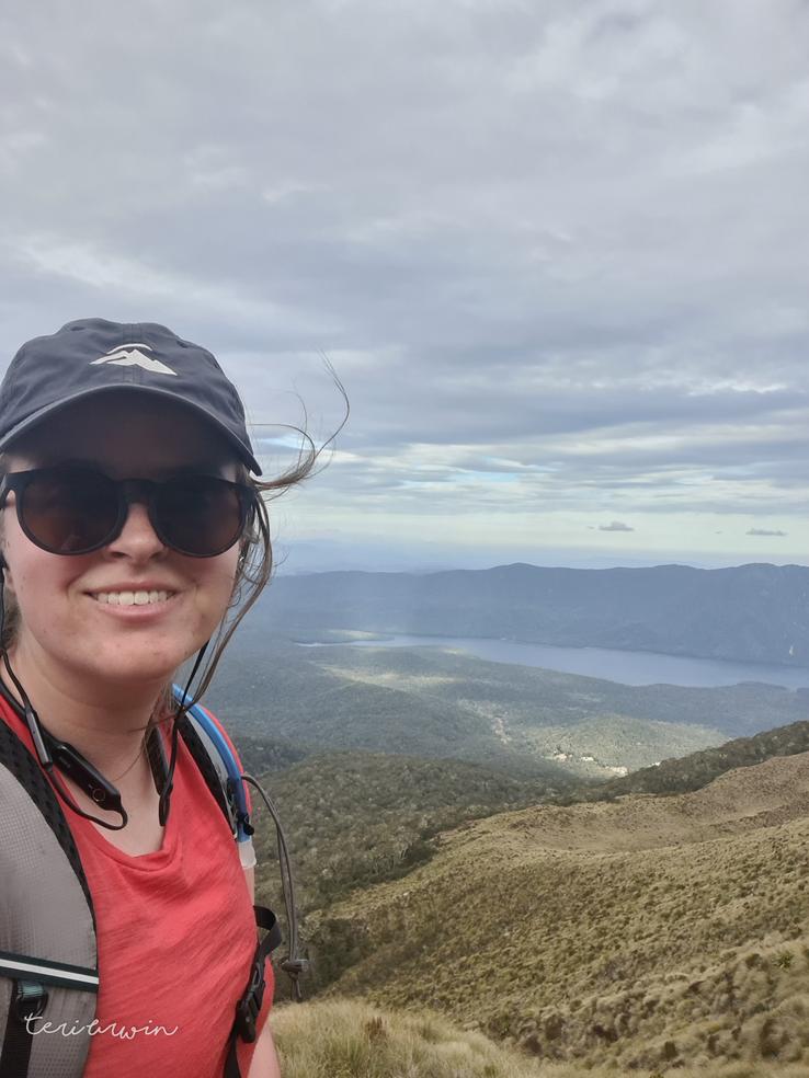
Looking for adventure, I found the Cleaughearn Peak loop on the Wilderness Mag website. it was an area I'd been to before (my partner and I had hiked in from the Borland Biv to Green Lake Hut years ago, when I was still in uni) which I remembered being beautiful, it involved off track travel across the ridge lines, and was billed as a more adventurous version of the Kepler. I was enamoured.
All in all, I loved this trip, but it was much harder than anticipated. The Wilderness mag trip report rates it as 'easy', and while quite possibly I missed partially formed tracks in some areas, some parts such as scrambling across the high route above the lake were definitely sketchier than I would call easy. It's one I would want to tackle with knowledge you're signing up for long days and some interesting terrain.
As a note - I walked counterclockwise. Personally, I found the hardest travel was between the campsite at Devils Punch Bowl and the Green Lake Hut track. If I were to do this again (which I am very keen to) I think I would do this clockwise instead, so you tackle the difficult terrain in the morning while you're fresh and awake.
Day 1
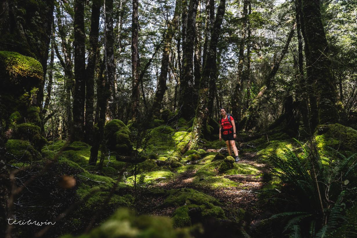
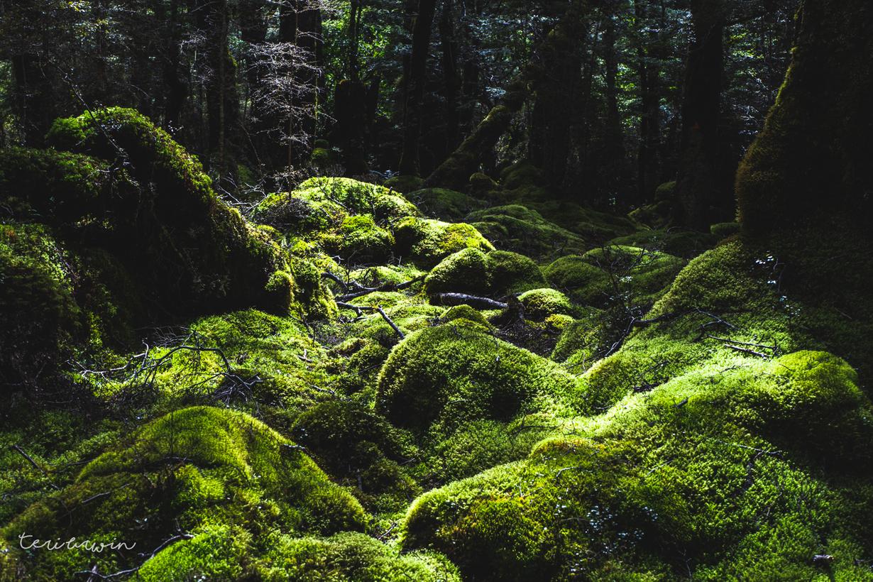
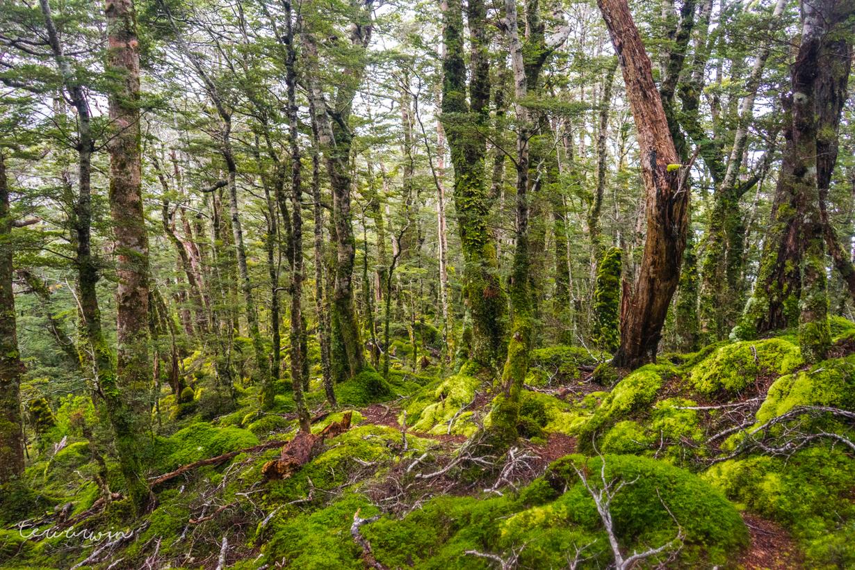
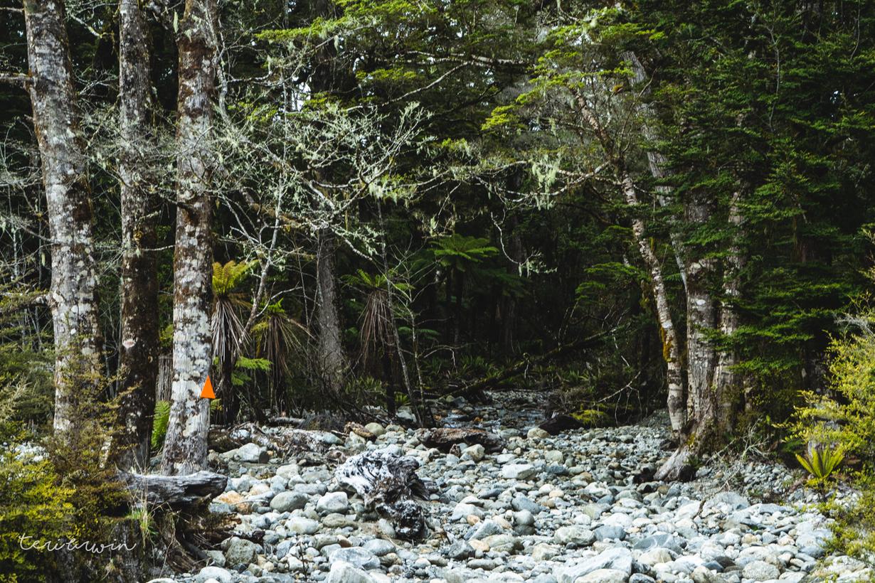
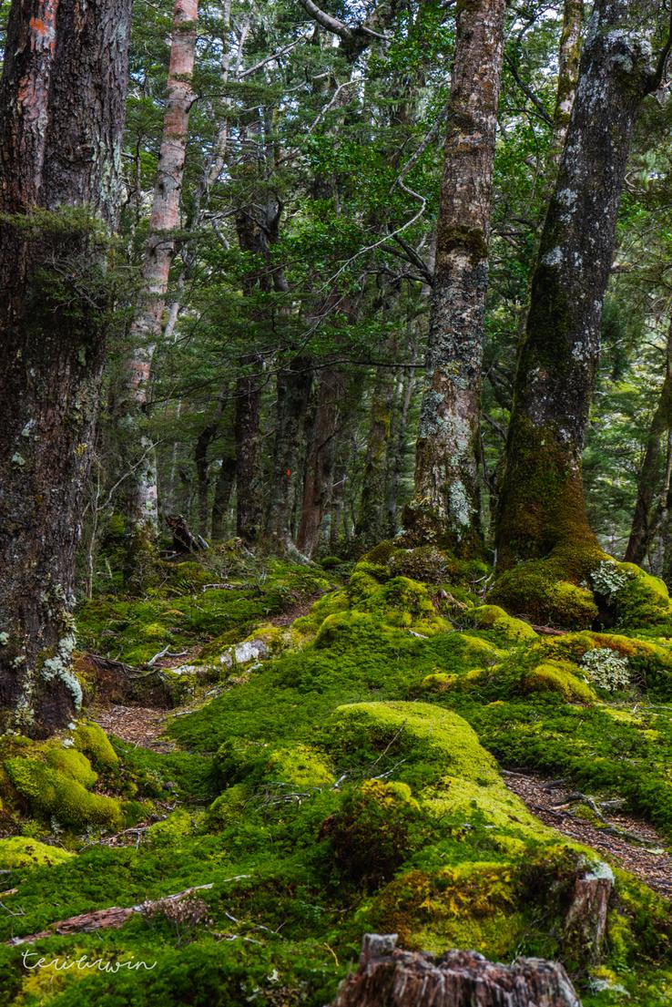
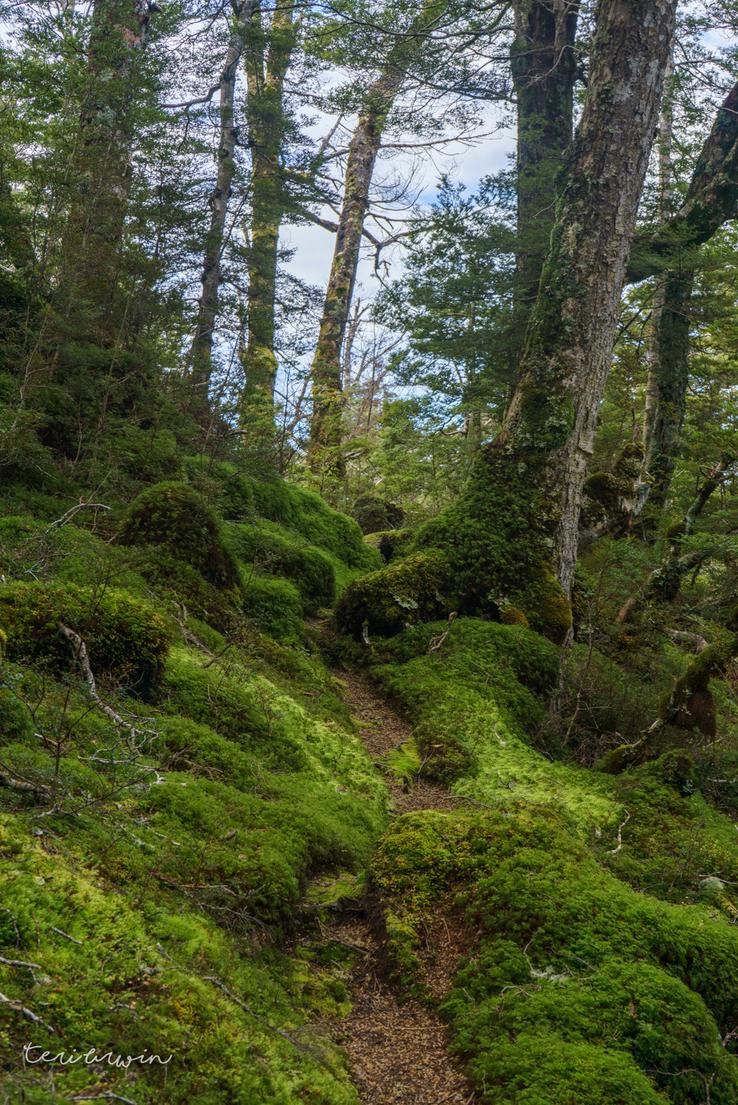
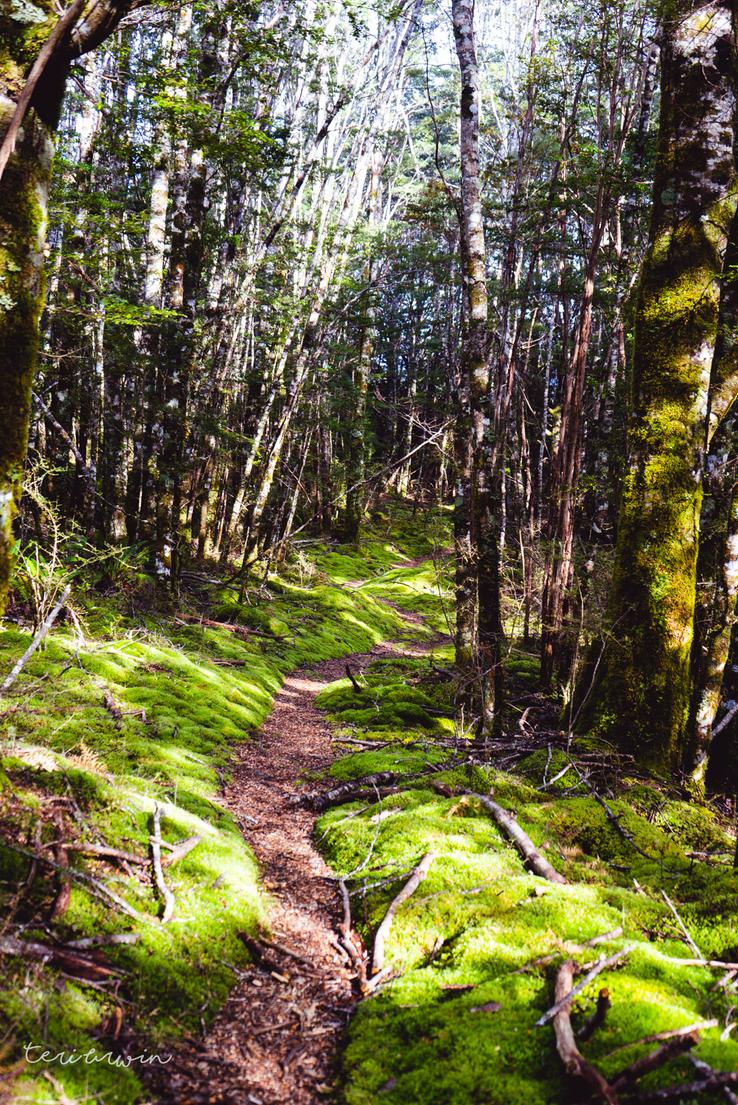
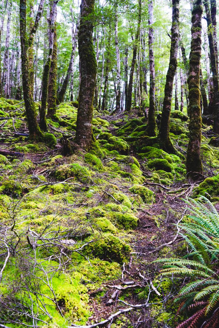
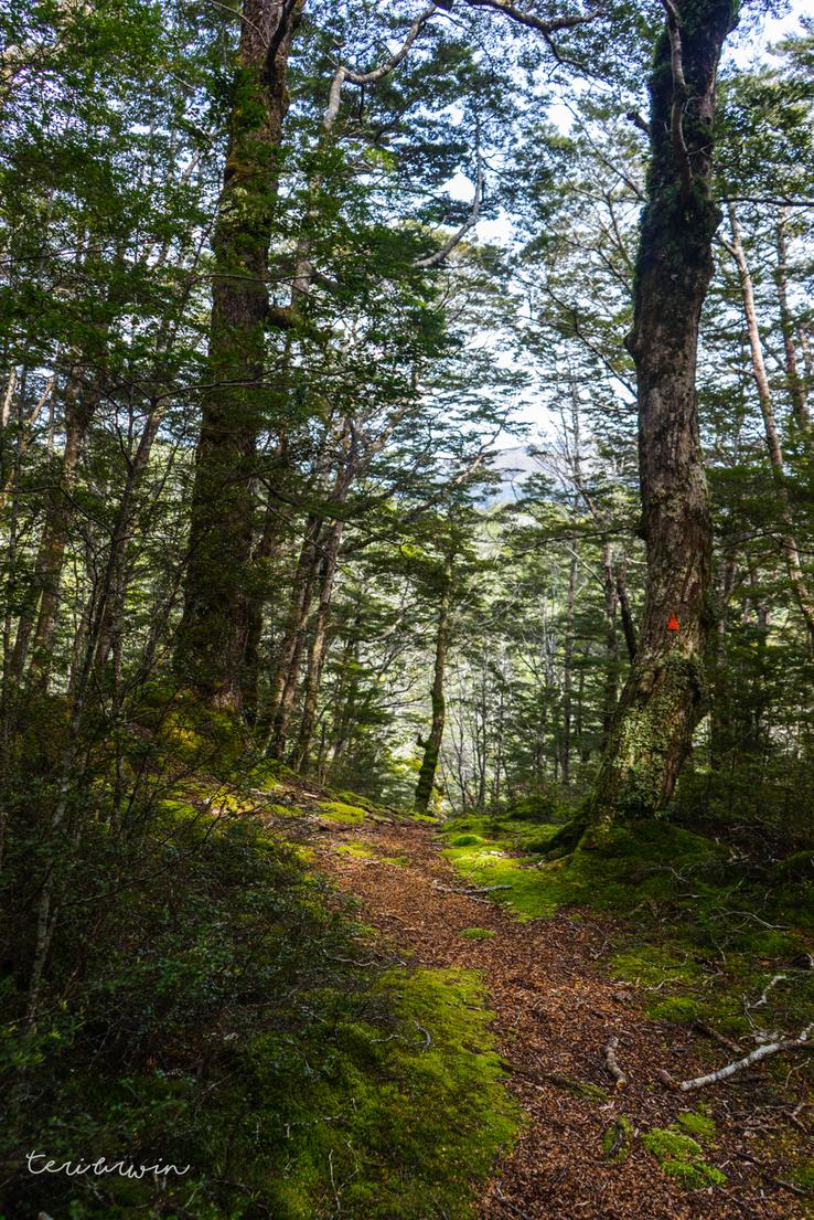
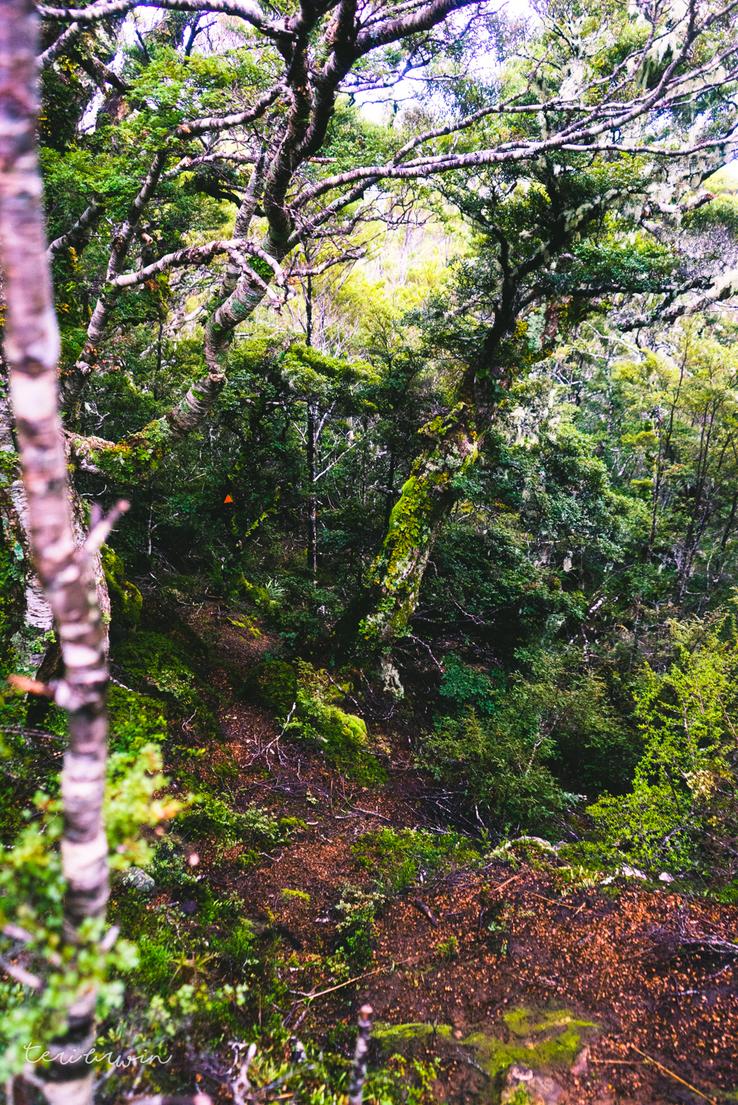
After a refreshing night camping at Lake Monowai, I headed up the Green Lake track from the Lake Monowai side. The track is easy going generally. Reaching the saddle, you turn off to the left and head up bash bashing. The trip report I was running off described this as "ten minutes of easy bush-bashing to the bushline", but whether I am just less experienced off-track, didn't find the semi-formed track people referred to or what, this was a difficult slog up bush that never seemed to end to me. I would highly recommend not following my GPX for this portion, as it felt like a never ending terrible time.
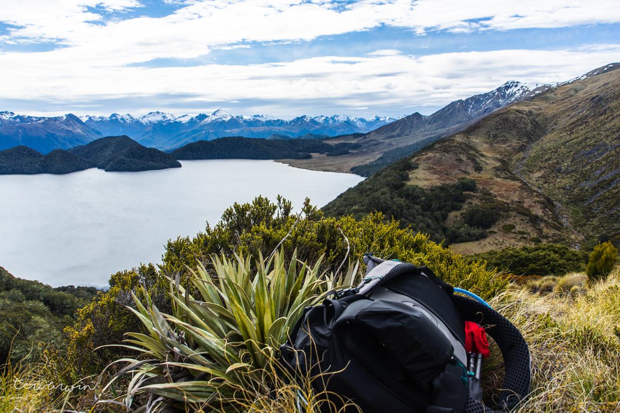
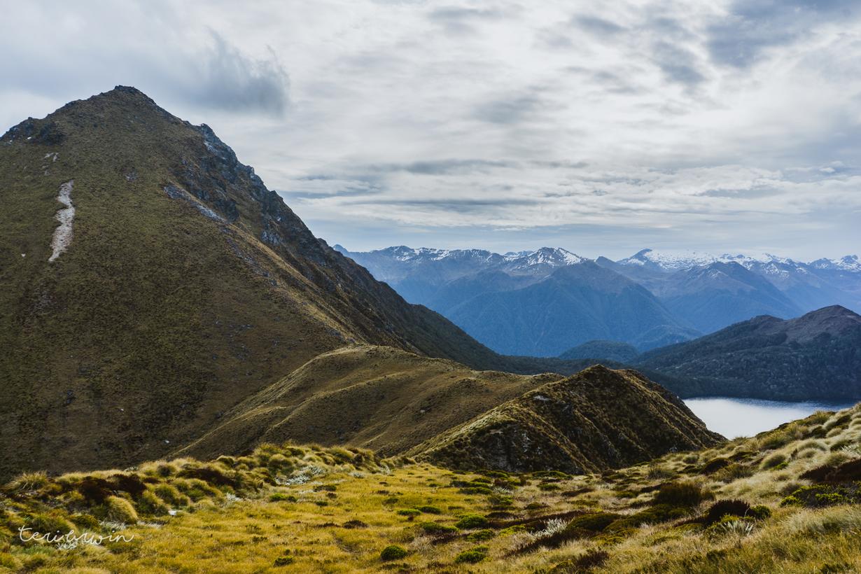
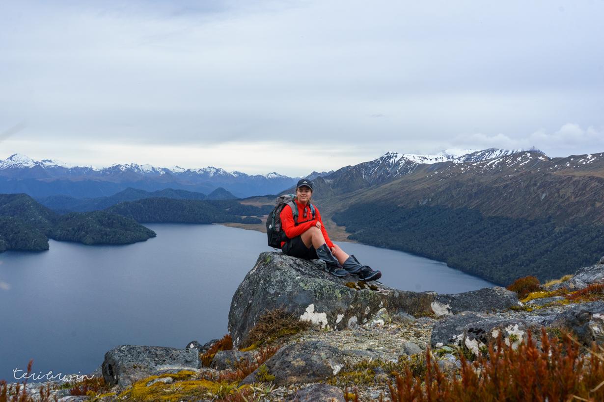
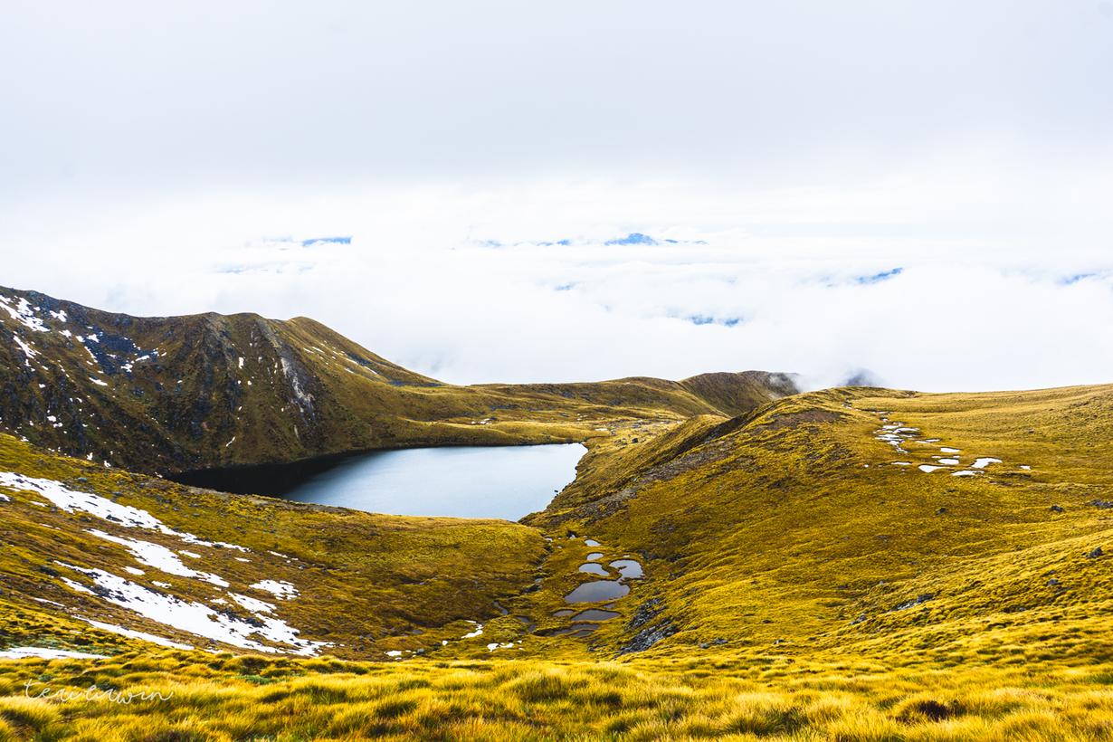
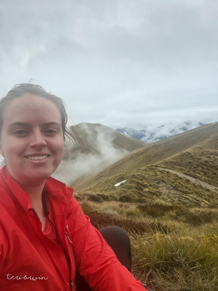
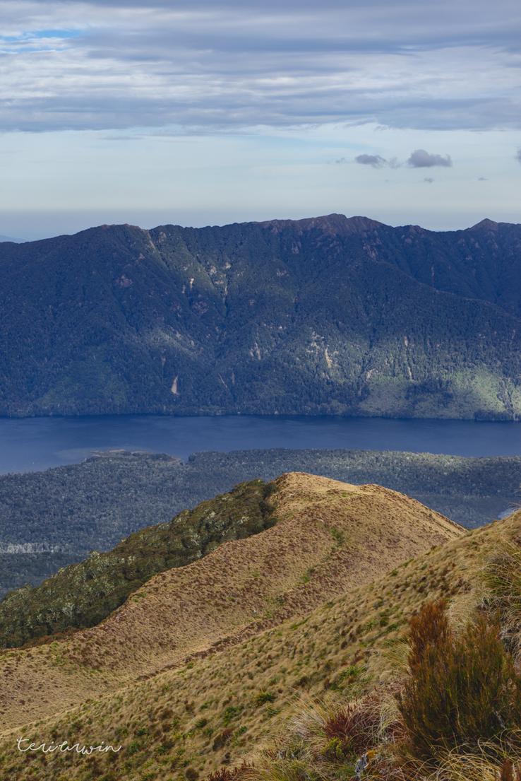
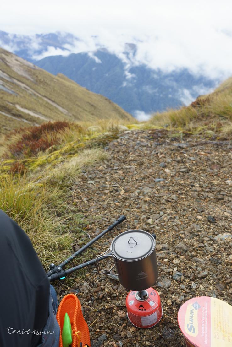
Coming out of the bushline it was then a case of getting up on to the ridge... and above the bloody alpine scrub. I was wearing gaiters and shorts here, and this is one of the few times I have regretted not having long pants. The day was warm but my legs were torn to shreds here. When I finally got above to the view at the top, it was highly satisfying - I went over Mt Cuthbert which I recommend, although the scrubline was punishing once I made it to the peak I was rewarded with amazing views and clear travel. After taking a quick sit down to enjoy lunch, I continued on following the ridge line until making it to the rocky high route above the Devils Punchbowl tarn.
I'd set out late in the morning at about 9am, having been distracted by a very good book. I wouldn't recommend this. I made it to the high route with darkness falling. There was no good place to camp apart from over the high route or back around an hours travel, at least in a tent. Conscious that I was now hitting "peak search and rescue" time (I'd write my wilderlife column wondering why didn't I turn back? why didn't I listen to the signs?) I eventually made the decision to head across the exposed rocky ridge. I wish I had pictures of this to share as it was... type 3? fun? maybe? I don't even know if I could call it fun. I feel satisfied knowing I've done it, and I would do it again, but I spent most of the clamber being very aware of how high up I was and how exposed the drop off on either side was. Complicating the matter was in October there were still large amounts of snow drift around. I had just been on an alpine course and was worried that by walking on the top, the snow blocks would
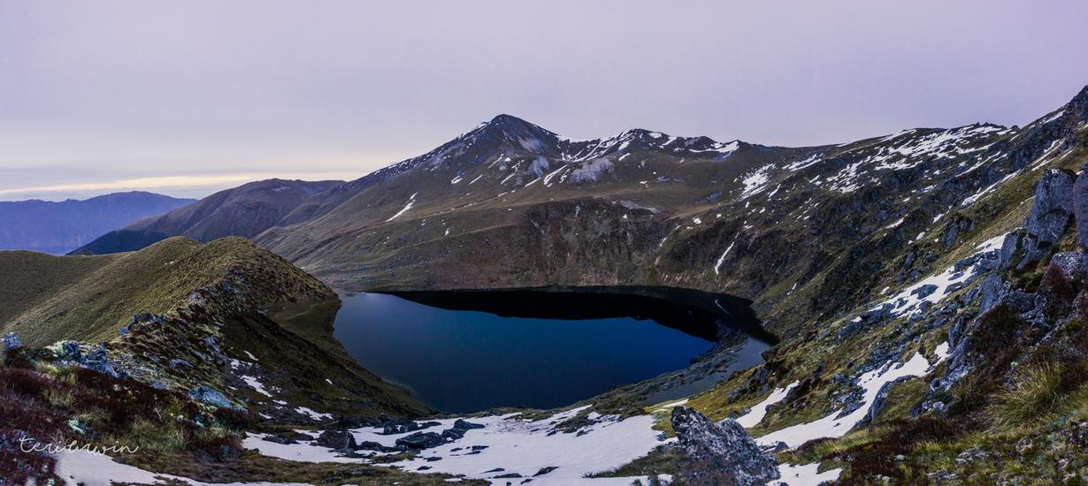
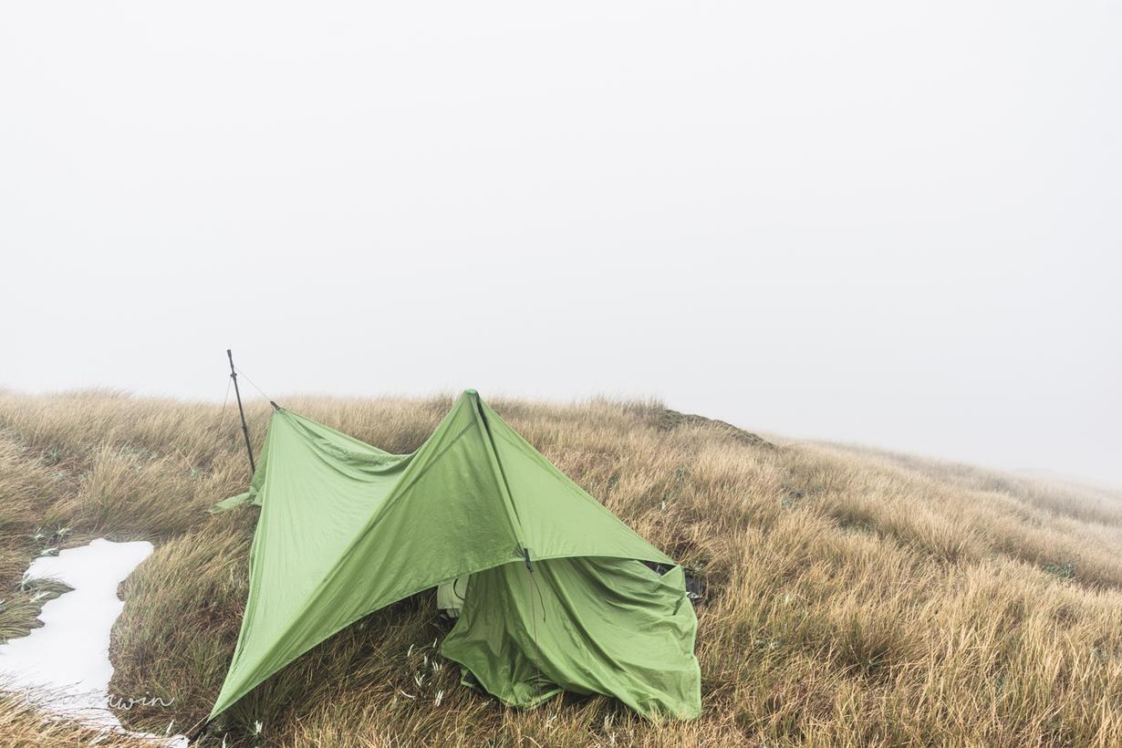
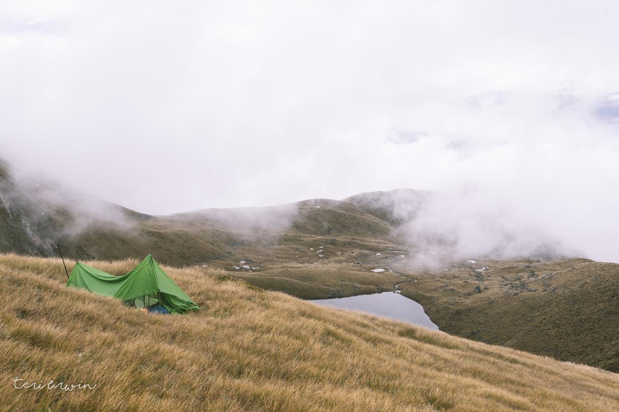
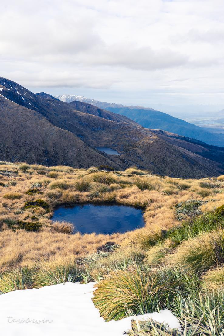
At around 10pm at night, I made it over the far side. I could see the suggested camp site with the alpine tarns, but I was knackered and set up camp in a wee flat spot on the side of the hills. This did mean dry camping, but I was able to melt some of the snow drifts and I had filled up my water bottles at the river before leaving Green Lake Hut so this was alright.
Weirdly, due to being so high up I had nearly full reception. I video called my mates and my partner, talked shit while eating dehydrated kumara chickpea curry (highly recommend - shout out to Local Dehy) and eventually fell asleep.
Day 2
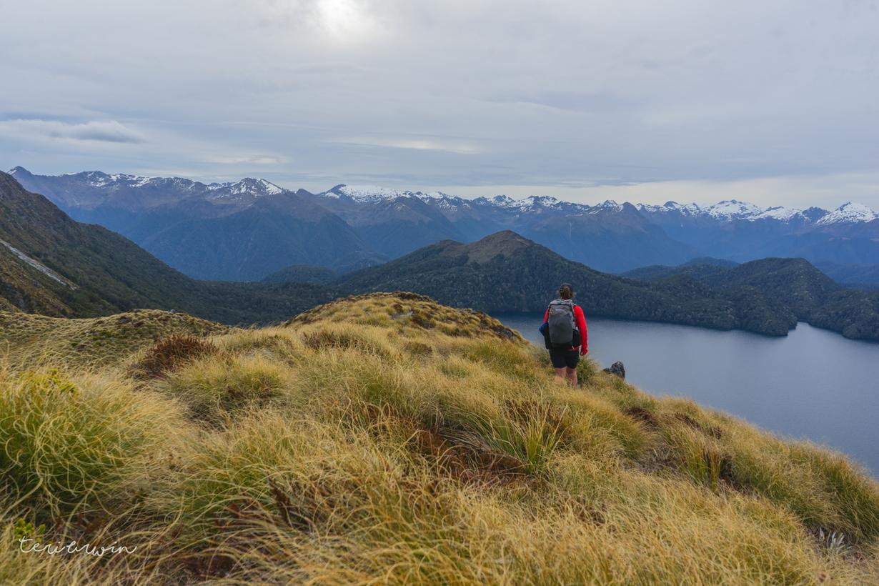
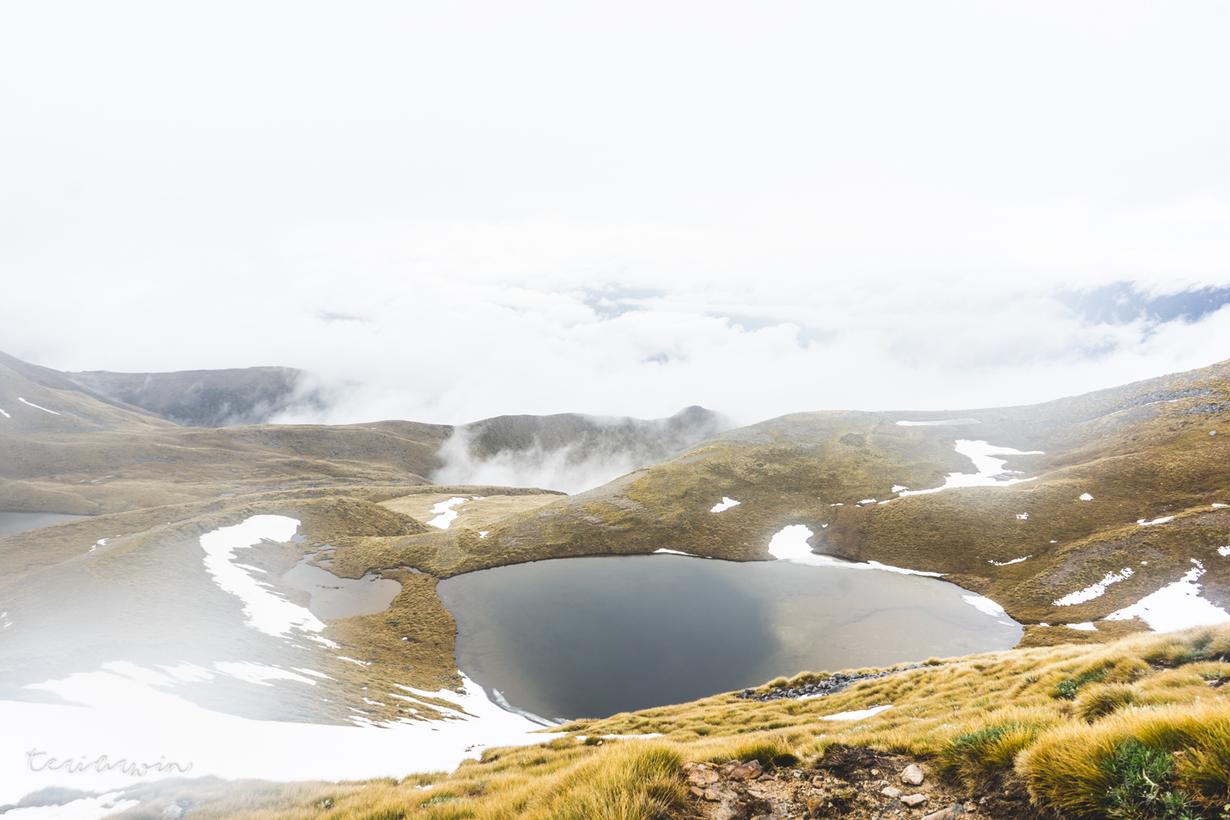
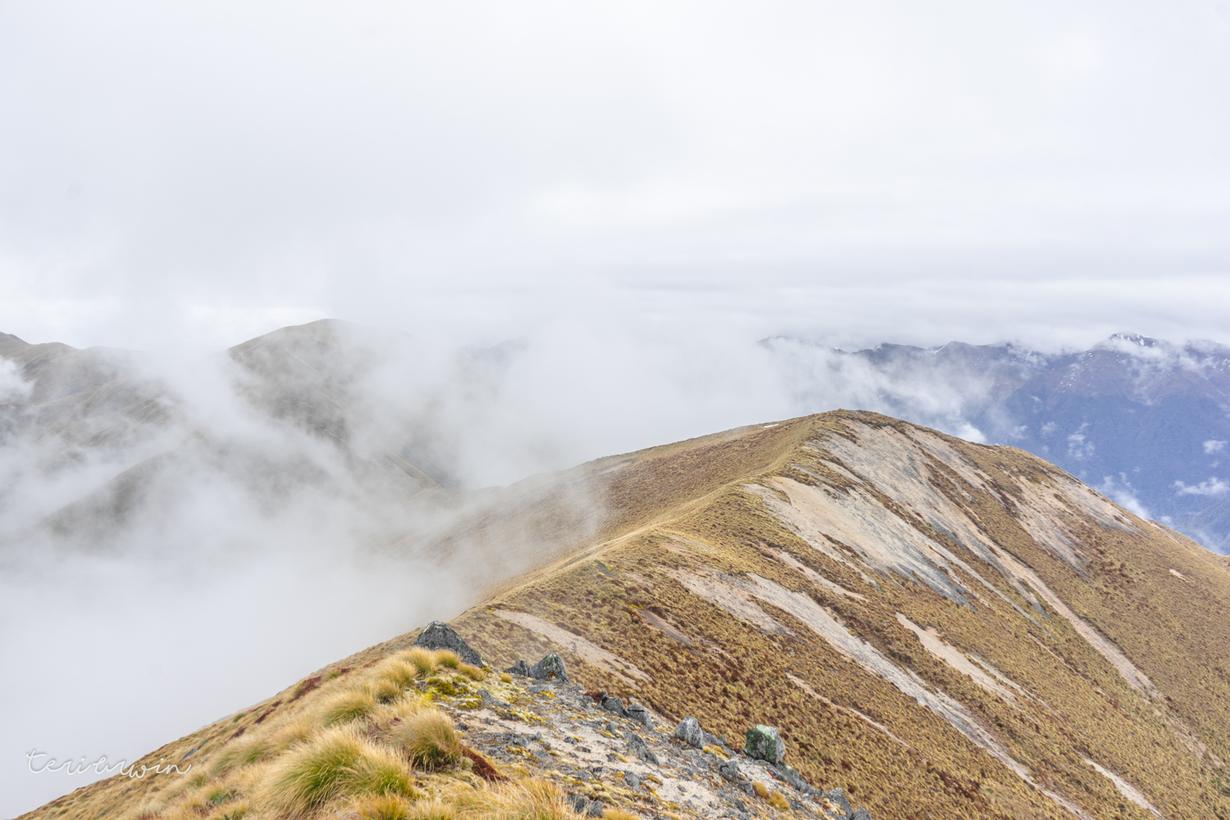
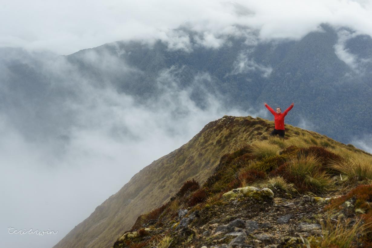
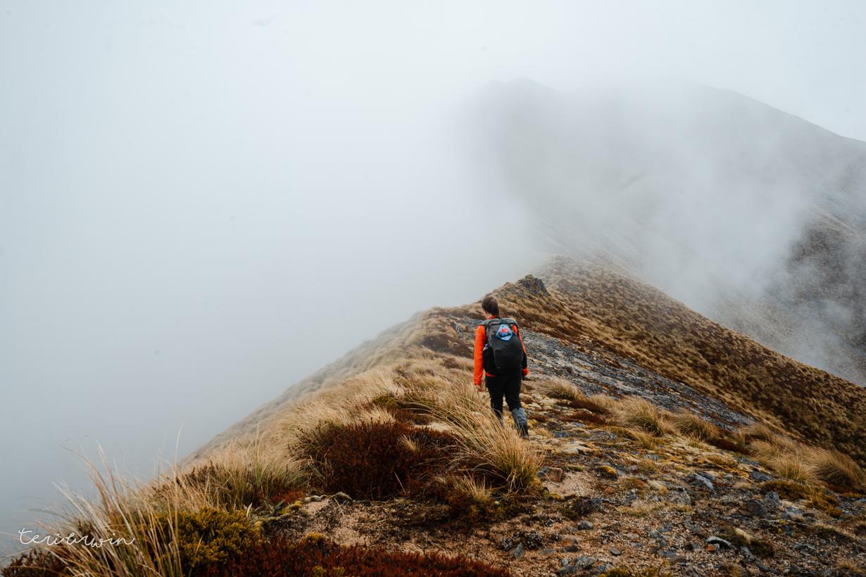
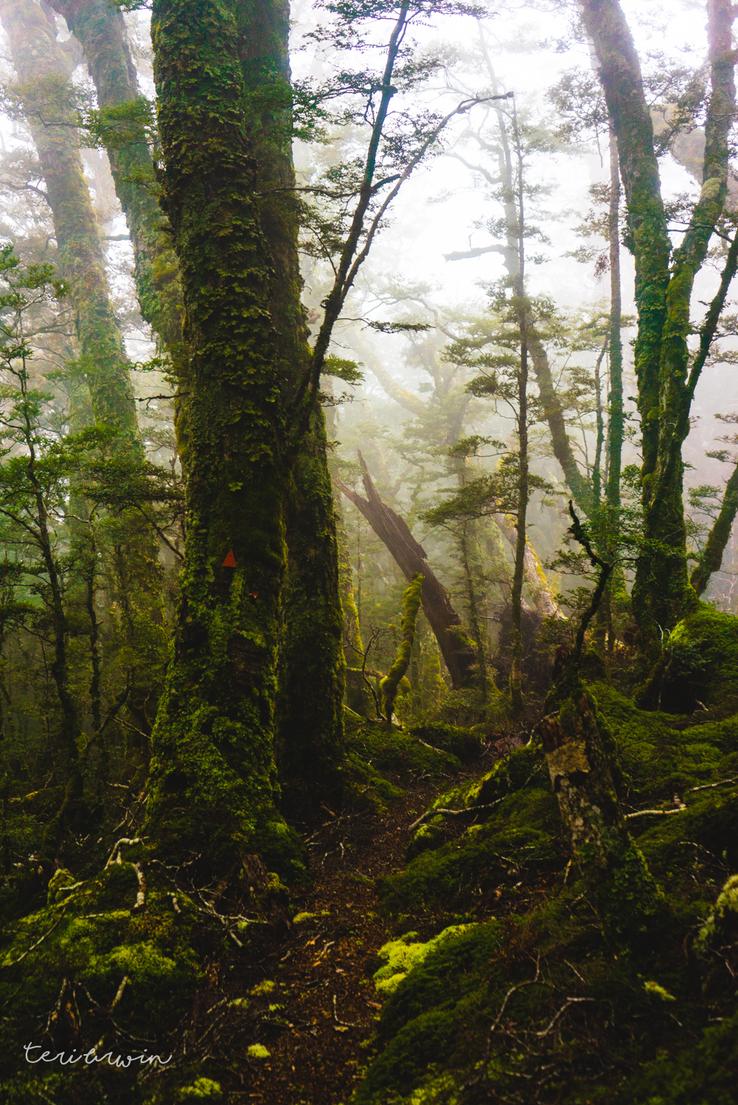
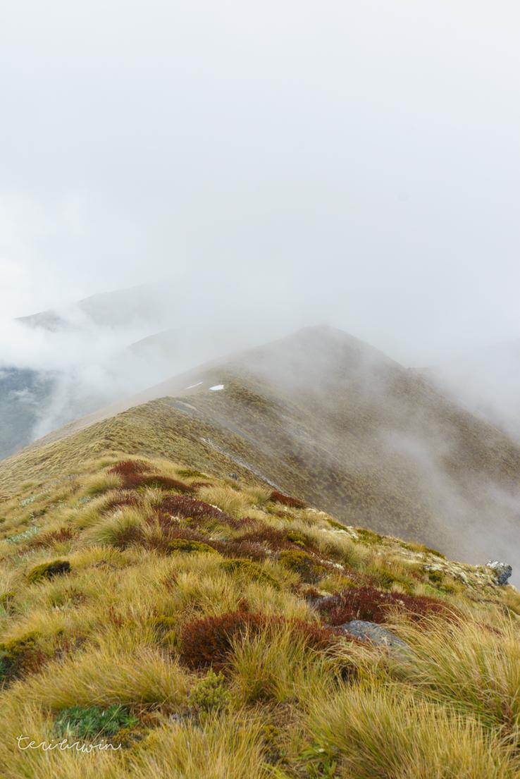
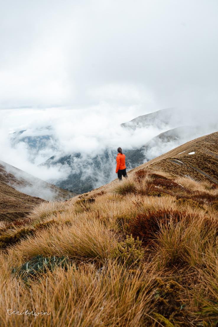
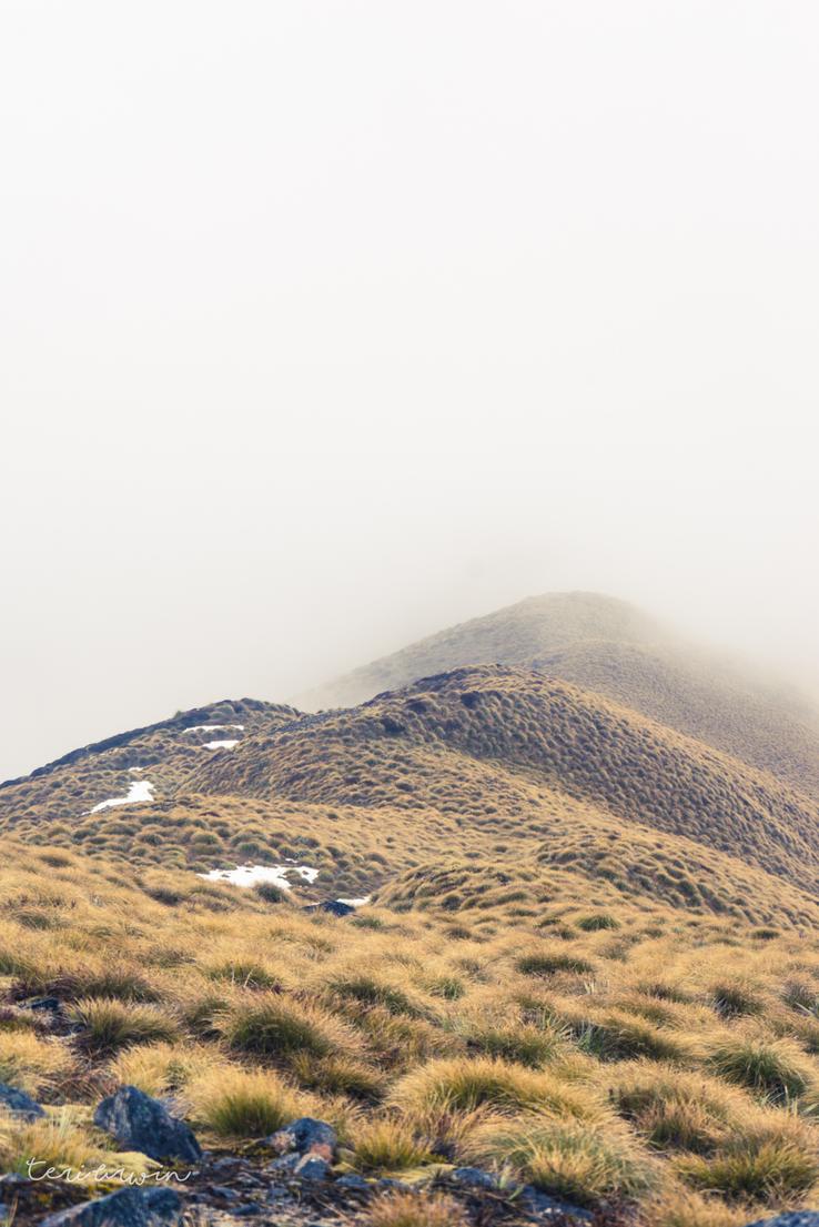
Day 2 was the day I was truly excited for, being primarily ridge line travel which I love (the views, the views!) Unfortunately, I woke up in cloud which continued for most of the day. While the wind was minimal and I wasn't being rained on, which I generally consider a success, it was a cloudy day with minimal views. I'll be back, Rodger Inlet Tops. The views I could see when the clouds parted were good enough to ensure that.
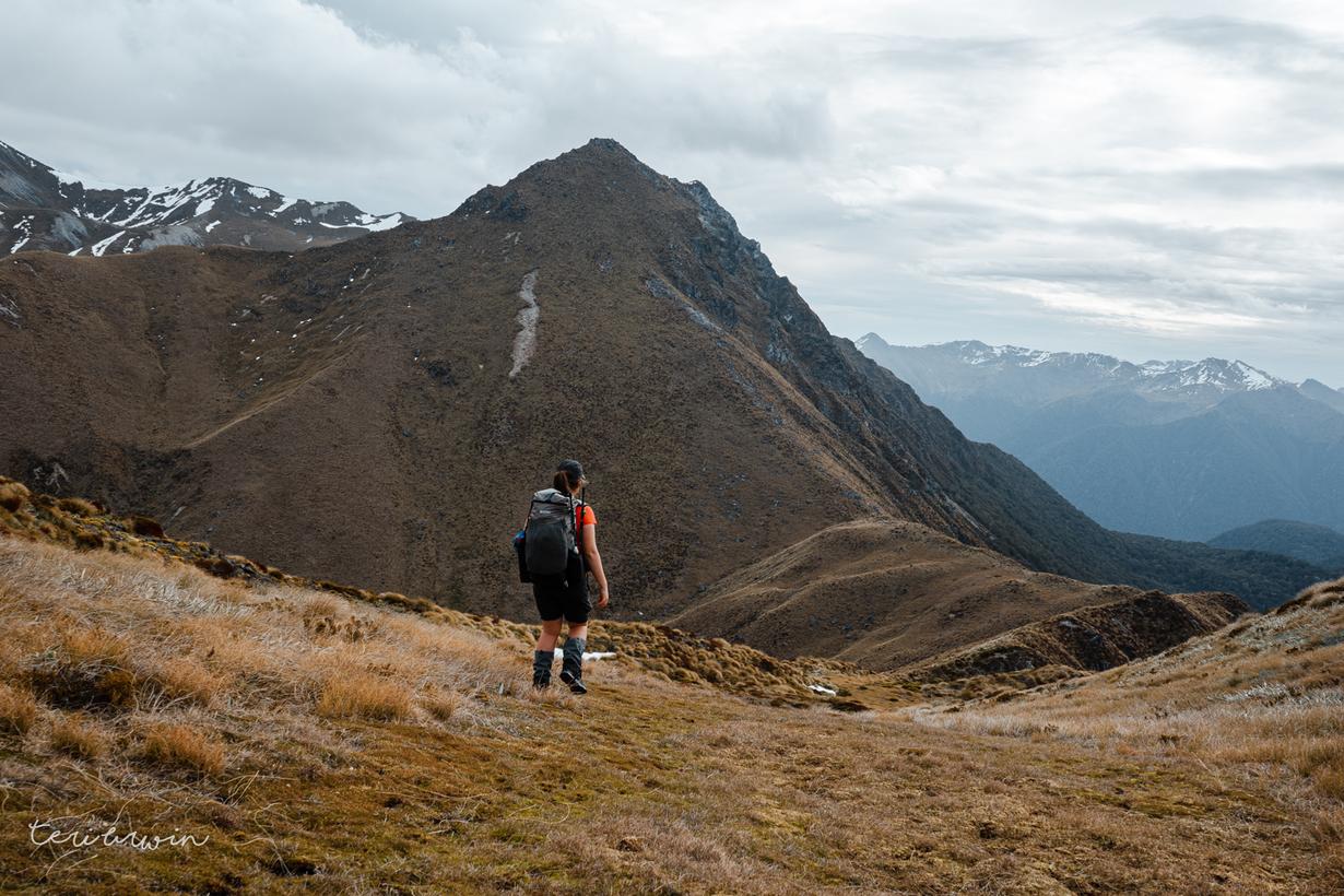
This day was nearly all satisfying, fast ridge line travel. I ended up skipping the mount that this 'route' is named after, Cleaghearn, given the snow still covering parts of it and the lack of visibility. The gently rolling tussock tops were wonderful to head on over.
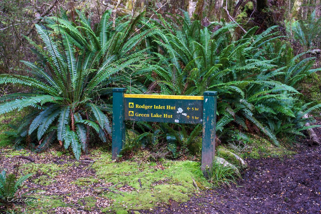
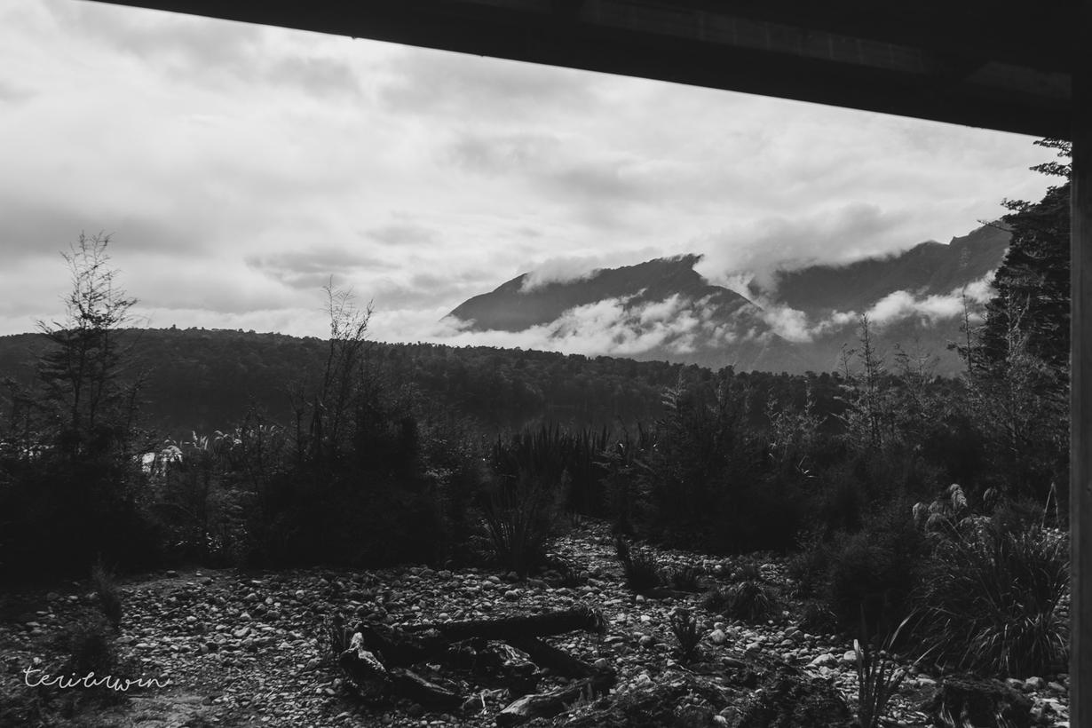
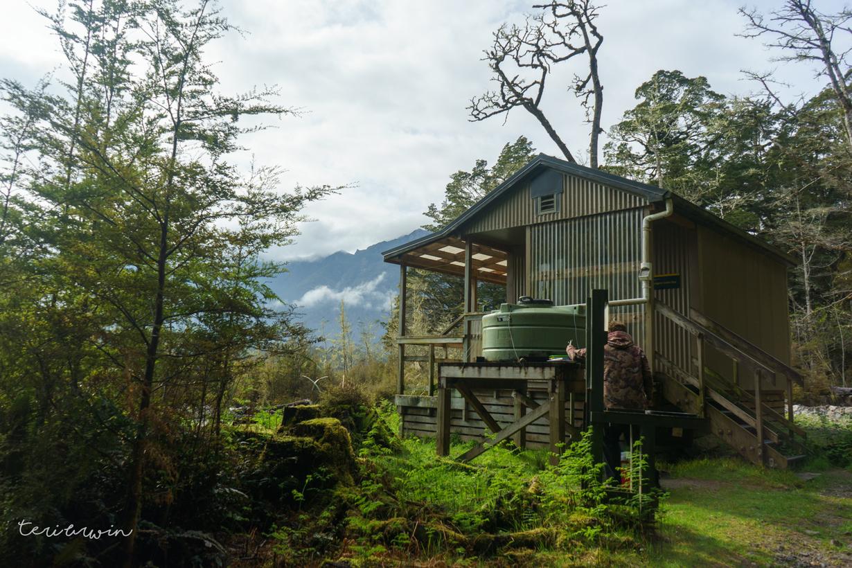
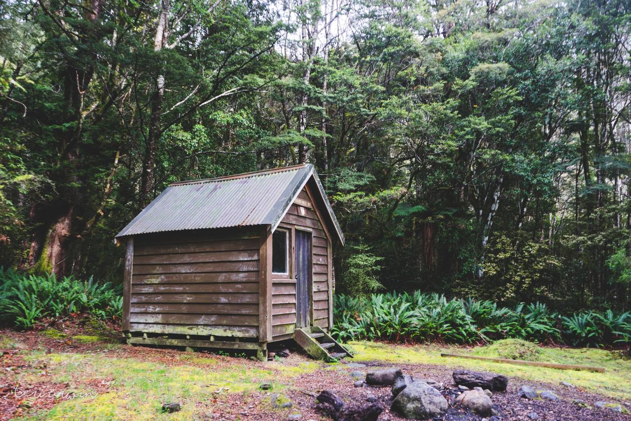
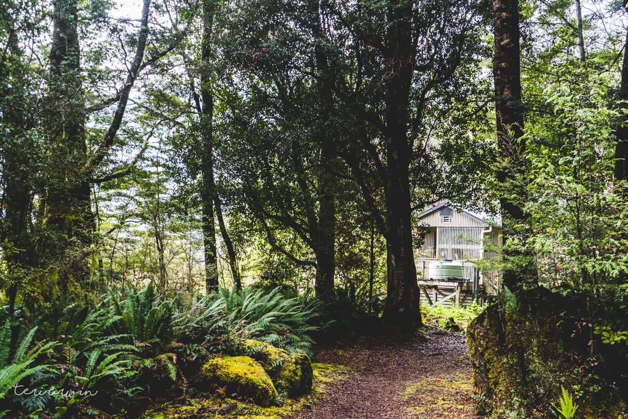
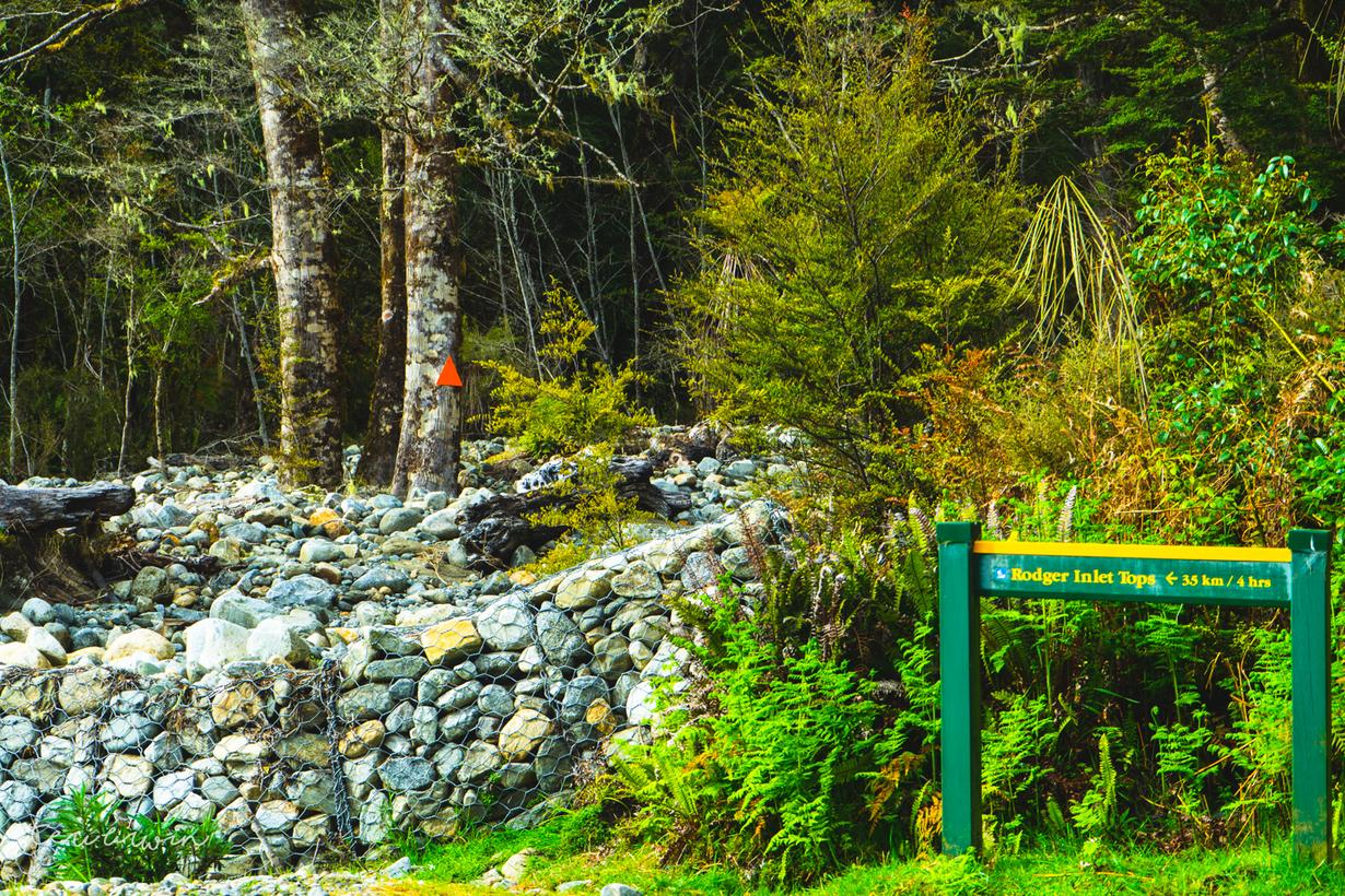
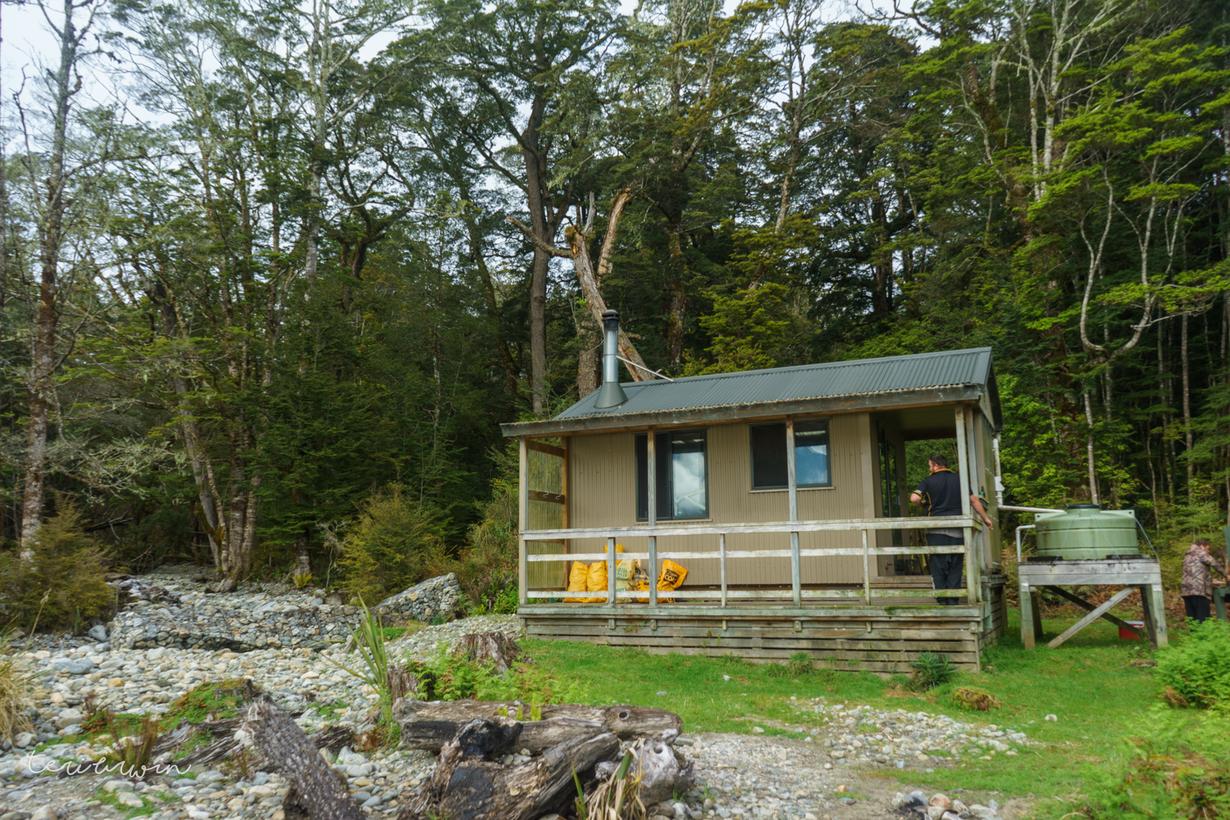
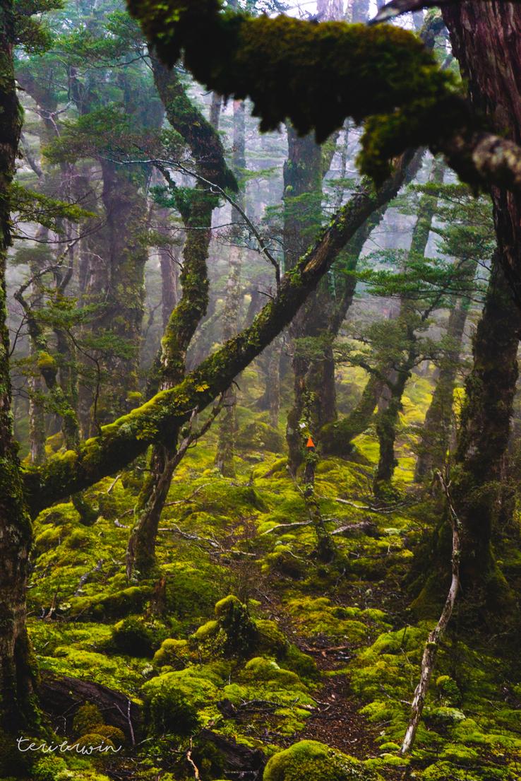
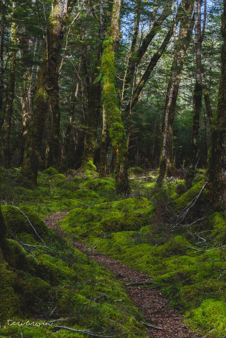
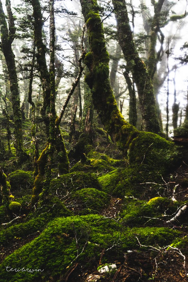
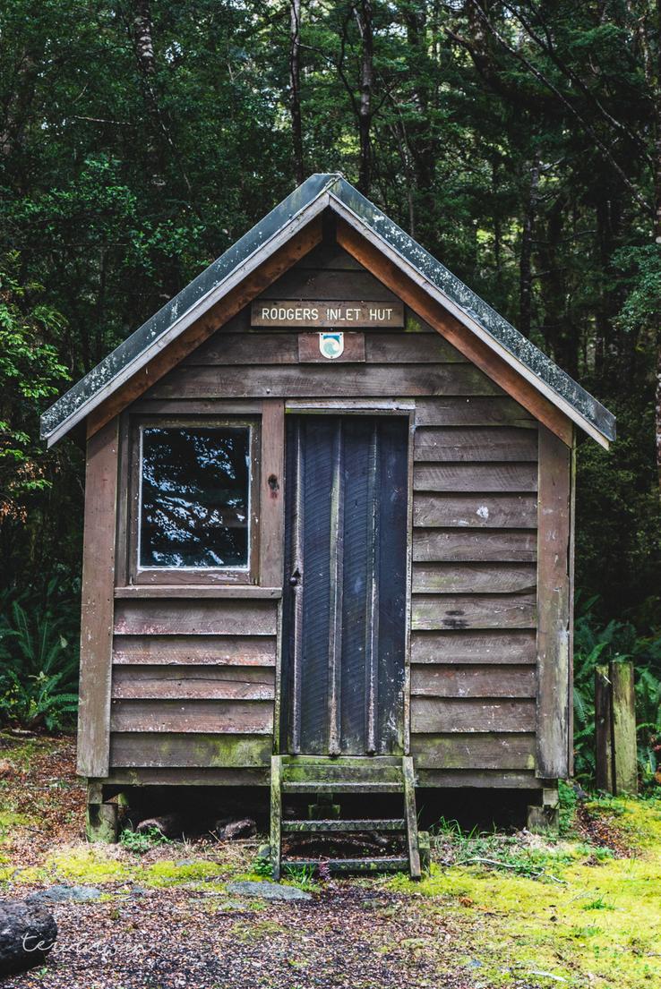
Eventually I made it to an old Forest Park marker and found the track in the bushline to the Rodger Inlet hut. This was a steep freaking track, or clamber (later at the hut I saw a sign showing 3.5km/4 hours and I would have to agree with that DoC time!) The track is easy enough to follow apart from one portion. Near the hut (after my watch had died a second time) I came to a clearing, and could find my way in but not the exit from the clearing. Looking around, given I knew I was near to the hut and my trail runners were soaked regardless, I followed the river down and made it to the hut.
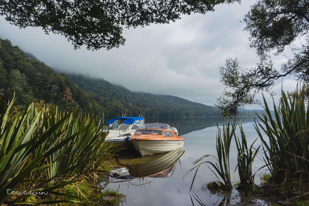
I think if you wanted a really long day and started at a decent time, you could definitely make it out across this and back across the Rodger Inlet track in one day. However, I started late, was knackered from the previous day, and I'm not that fit. I rolled into the hut as the sun was setting and was greeted by the most glorious sight of around 10 boaties.
They were so lovely, although very confused on where on earth I'd rolled out of bedraggled and smelly. Being plyed with rum and risotto was an excellent experience in the (overly) warm hut with the fire cranking, and I enjoyed sitting around and talking shit. Good blokes. The only real downside of the hut - which was very cute - was the long drop was more of a short drop. Can't really complain though, compared to the previous night tenting it was luxury!
Day 3
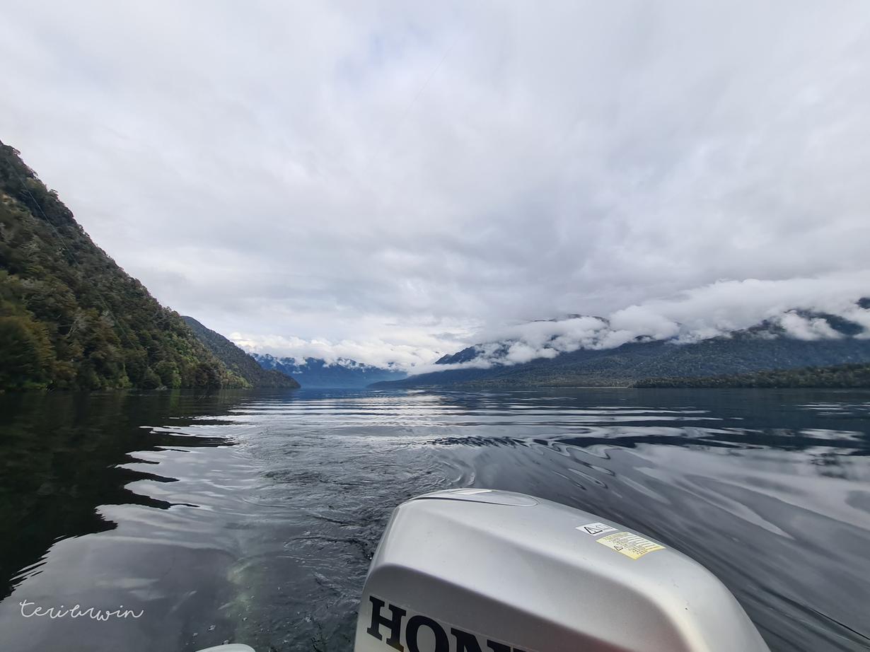
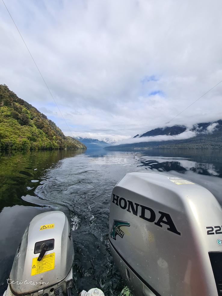
Day 3 was meant to be me walking out on the Rodger Inlet track. I'd heard from the boaties that it was a muddy track, less maintained and receiving the typical Fiordland rain. However, lucky for me, I was offered a lift out. Glorious! I had a wonderful morning putting around on the boat, tried to catch a fish, and then got dropped back at my car. Thanks again dudes.
